What is recorded here
Indicated is a fairy fort on the Kilmoney Abbey estate, a shallow circular scar forty metres across where deer still graze. People planted trees along its lip and forgot the hole beneath, turning a ancient boundary into an ornamental ring. The forgootten hand is still visible in the shape, preserving the line drawn before the estate existed.
In pasture, on N-facing slope of E-W ridge. Slightly raised, circular area (40m E-W; 37.8m N-S) enclosed by scarp (H 0.9m) crowned by low lip, planted with deciduous trees. Appears to have been modified and used as tree ring in the past on Kilmoney Abbey estate.
The above description is derived from the published 'Archaeological Inventory of County Cork. Volume 2: East and South Cork' (Dublin: Stationery Office, 1994). In certain instances the entries have been revised and updated in the light of recent research.
Date of upload/revision: 14 January 2009
The monument record does not grant public access. Check the route and ask the landowner before entering private land.
- What survives
- Recorded monument
Places near here
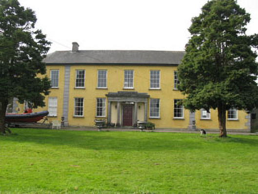 Kilmoney Abbeycountry house · 338 yd
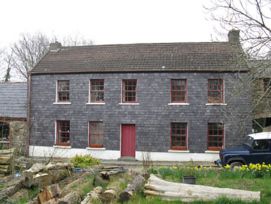 Kilmoney Househouse · 390 yd
 IndicatedFairy fort / earthen ringfort · 553 yd
 St. John's WellArchaeological place · 1448 yd
 Ballea CastleCastle, tower house · 1585 yd
 Cogan's CastleCastle · 1.7 mi
 Pauper's GraveyardArchaeological place · 2.9 mi
 Coolmore WoodWood · 3.4 mi
 St Laitiarain's WellSpring · 4.1 mi
 Ballybrack WoodsWood · 4.1 mi
 Manx2 Flight 7100aviation accident · 4.1 mi
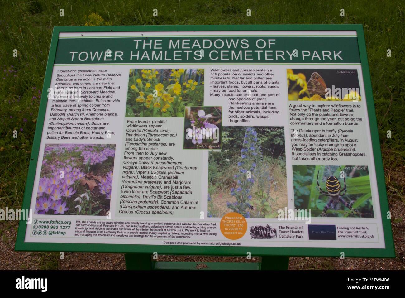 Wildlife and plant information boardsVisitor information · 4.4 mi