What is recorded here
These partially peat-covered features are located on the N and W slopes of Kilmashogue Mountain. They comprise a network of drystone-built walls stretching for c. 1km. The main axis of the earlier co-axial system runs NW-SE cutting across the contours with a focus, on the summit. The second system radiates from a subcircular enclosure in a naturally level platform on the N slopes of the mountain. This impressive enclosure (int. diam. c. 60m) is defined by a drystone-built wall (Wth 2m; H 1m). The interior has uneven stony areas. Aerial photographic coverage of the site indicates a central internal enclosure (OS Flight 9, 2271). There is an opening in the NW. Field walls radiate from the enclosure at the NE, SSE, SSW and W and across the main field system running NW-SE (Cooney 1985, 28-30). The scale of the earlier co-axial field system and the occurrence of megalithic tombs in the vicinity suggests that it is of prehistoric date and unique within the county.
Compiled by: Geraldine Stout and Padraig Clancy
Revised upload on: 28 July 2018
The monument record does not grant public access. Check the route and ask the landowner before entering private land.
- What survives
- Recorded monument
Places near here
 Enclosure in KilmashogueEnclosure · 11 yd
 KilmashogueMountain / peak · 81 yd
 Calbeck CastleRuins · 552 yd
 Kilmashogue ForestForest · 571 yd
 Kilmashogue Wedge TombArchaeological place · 942 yd
 Telshaun HillMountain / peak · 1354 yd
 Larch Hillicehouse · 1372 yd
 Ticknock WoodForest · 1378 yd
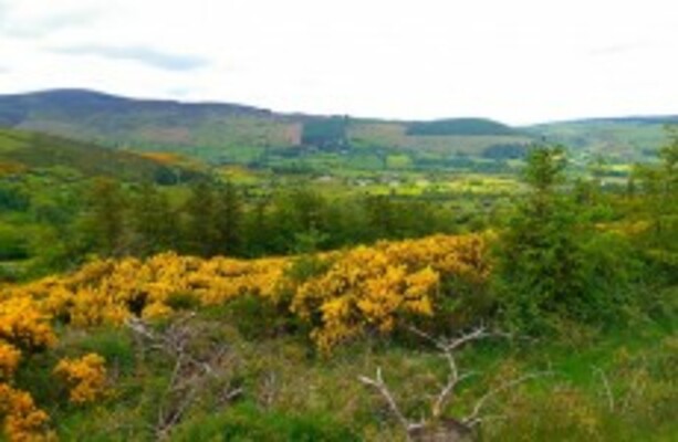 Dublin Mountains WayWalking route · 1389 yd
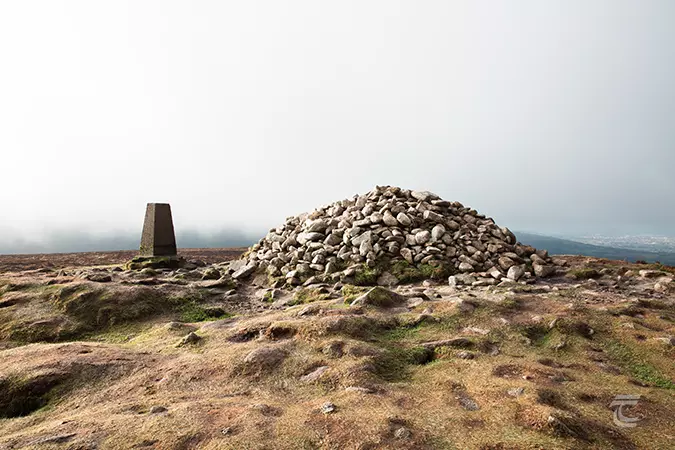 Ticknock - Fairy Castle LoopWalking route · 1578 yd
 Danesmoatecountry house · 1722 yd
 Dublin Mountain Way informationVisitor information · 1.3 mi