What is recorded here
Indicated is a lost fairy fort on a northern Monaghan slope, its broad stone ring erased before 1995. The vanished structure may have marked a boundary between human fields and fairy roads, explaining why it resists memory and mapping.
Situated at the N tip of a S-N spur on a N-facing slope. A subcircular or D-shaped enclosure is depicted here only on the 1907 edition of the OS 6-inch map. It was described in 1968 as a subcircular area (int. diam. 31m E-W; 29m N-S) defined by the base of a wall created by large stones or a stone spread (Wth4-4.5 m) with a drystone wall on top. It had been removed by 1995 (OSAP).
The above description is derived from the published 'Archaeological Inventory of County Monaghan' (Dublin: Stationery Office, 1986). In certain instances the entries have been revised and updated in the light of recent research.
Revised by: Michael Moore
Date of revision: 29 January 2018
The monument record does not grant public access. Check the route and ask the landowner before entering private land.
- What survives
- Recorded monument
Places near here
 CarnCairn, unclassified · 46 yd
 Court tomb in ListellanCourt tomb · 699 yd
 Roosky Castle (Site of)Castle, ringwork · 1454 yd
 Lisarrilly HillMountain / peak · 1523 yd
 Church in Templetate (dartree By., Clones Par.)Church · 1629 yd
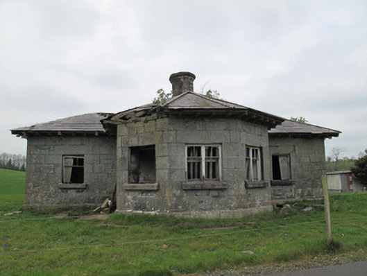 Templetate Locklock keeper's house · 1753 yd
 Jaundice WellSpring · 1.7 mi
 KillycoonaghWood · 2.8 mi
 Common LimeCommon Lime · 2.9 mi
 Saint John's WellSpring · 3.0 mi
 Rough HillMountain / peak · 3.8 mi
 Dagda's CauldronHeritage attraction · 4.8 mi