What is recorded here
In open, level pasture. A large, poorly preserved, D-shaped area (diam. c. 65m N-S) with a straight S side (L c. 60m) truncated by a road, is defined by a low, inner earthen bank (Wth 2.9m at S-4.9m at E; int. H 0.4m; ext. H 1.2m), and a shallow outer fosse (Wth 1.8-2.2m; D 0.4-0.7m). A shallow modern drain (Wth 1.1-1.8m; D 0.2-0.4m) runs along the internal base of the bank. There is a low, sub rectangular platform (dims. L 33m E-W; Wth 25m; H 0.3-0.8m) at the centre of the interior upon which there is a church (KD013-019002-). The interior also contains a graveyard (KD013-019003-) and is the site of a religious house of the Knight's Hospitallers (KD013-019001-).
Compiled by: Gearóid Conroy
Date of upload: 10 June 2011
The monument record does not grant public access. Check the route and ask the landowner before entering private land.
- What survives
- Recorded monument
Places near here
 Church (in Ruins)Church · 11 yd
 Enclosure in Killybegs DemesneEnclosure · 305 yd
 IndicatedCastle, motte · 1239 yd
 Grand Canal WayWalking route · 1573 yd
 Landenstown Bridge and 17th Lockbridge · 1661 yd
 Kavanaghs MoatFairy fort / earthen ringfort · 1.1 mi
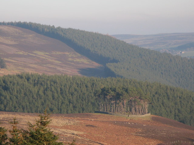 TumulusWood · 1.2 mi
 Museum of MotorsportMuseum · 1.4 mi
 ICAMemorial · 2.2 mi
 Celebrating CommunityMemorial · 2.2 mi
 Ballynafagh Bog Special Area of ConservationNature reserve · 2.3 mi
 Castle (in Ruins)Castle, unclassified · 2.5 mi