What is recorded here
Post 1700 landscape feature known as a Ha Ha the encloses the front of Killurin House, however in the second field to the S of Killurin House there is a possible enclosure depicted on the first edition of the OS 6-inch map. Not indicated on the current edition of the OS 6-inch map. Mistakenly identified as the ha-ha around Killurin House and marked as such on the current edition of the 6-inch map.
The above description is derived from the published 'Archaeological Inventory of County Offaly' (Dublin: Stationery Office, 1997). In certain instances the entries have been revised and updated in the light of recent research.
Date of upload: 23 May 2011
The monument record does not grant public access. Check the route and ask the landowner before entering private land.
- What survives
- Recorded monument
Places near here
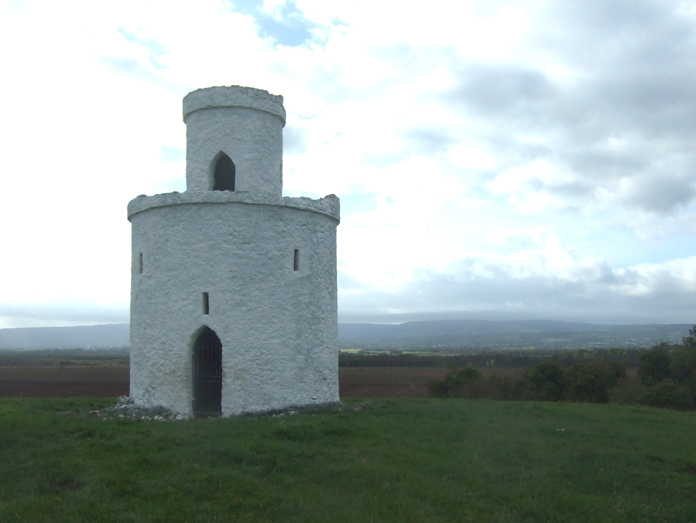 Enclosure in KillurinEnclosure · 888 yd
 Killurin Church (in Ruins)Church · 949 yd
 Mahon's WoodWood · 1164 yd
 Ross WoodWood · 1505 yd
 Mullagh HillMountain / peak · 1.0 mi
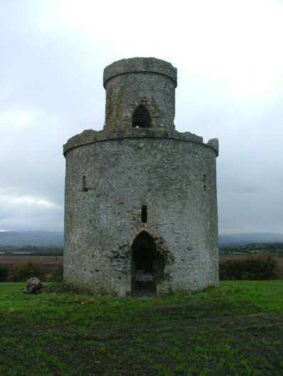 Mullagh Housefolly · 1.2 mi
 Enclosure in Clonad (geashill By.)Enclosure · 1.5 mi
 Mountpleasant Ho. in ruinsHouse, fortified house · 1.9 mi
 Sugar HillMountain / peak · 2.0 mi
 Pallas Castle (in Ruins)Bawn · 2.3 mi
 Ardnagross WellSpring · 2.6 mi
 Graveyard in PallasGraveyard · 2.7 mi