What is recorded here
Indicated is a fairy fort or earthen ringfort in Killinordanbeg, County Roscommon, Ireland. The circular overgrown area sits within a D-shaped wood that appears only on the 1915 OS 6-inch map. An earthen bank and rounded separate it from an outer bank, which has been removed NE-ESE. A NNE-SSW field drain cuts through the outer bank and fosse at W.
Towards the top of a gentle S-facing slope. Circular overgrown area (diam. 38m E-W; 35m N-S) within a D-shaped wood (dims c. 80m E-W; c. 80m N-S) that is only depicted on the 1915 edition of the OS 6-inch map. It is defined by an earthen bank (Wth 4.8-5m; int. H 0.3-0.6m; ext. H 0.9-1.6m) separated by a rounded fosse (Wth of top 4-4.3m; Wth of base 1.9-2.3m; D 0.4-0.9m) from an outer bank (Wth 3-3.4m; ext. H 0.2m), which has been removed NE-ESE (max. ext. dims 54m E-W; 53.2m N-S). There is no identifiable original entrance and a NNE-SSW field drain cuts through the outer bank and fosse at W.
Compiled by: Michael Moore
Date of upload: 24 August 2010
This remains an important historical record, but the official description says the monument is no longer visible or has been destroyed. The monument record does not grant public access. Check the route and ask the landowner before entering private land.
- What survives
- No visible remains or recorded as destroyed
Places near here
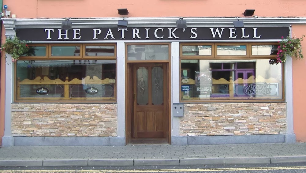 St Patricks WellHoly well · 1183 yd
 Penitential station in GortlustiaPenitential station · 1190 yd
 Church in Clooneen (hartland)Church · 2.0 mi
 Strokestown ParkHeritage attraction · 2.2 mi
 Strokestown House GardensHeritage attraction · 2.4 mi
 Common LimeCommon Lime · 2.6 mi
 Pedunculate OakPedunculate Oak · 2.6 mi
 CastleCastle, unclassified · 2.9 mi
 Slieve BawnMountain / peak · 3.9 mi
 Rabbit IslandIslet · 5.9 mi
 Pigeon IslandIslet · 6.6 mi