What is recorded here
Shown on the 1st ed. (1838) of the OS 6-inch map as a rectangular enclosure (est. max. dims. L c. 38m NW-SE; Wth c. 30m) which pre-dates the boithrín shown angling to skirt it's SW and SE sides and which leads E to a broad expanse of bog. The boithrín was subsequently straightened, as shown on the latest ed. (1909) of the OS 6-inch map, to run directly across the monument. No visible surface trace survives; a modern house and garden lie to the SE of the gravelled boithrín and a soccer pitch lies immediately to the NW.
Compiled by: Gearóid Conroy
Date of upload: 10 June 2011
The monument record does not grant public access. Check the route and ask the landowner before entering private land.
- What survives
- Recorded monument
Places near here
 Killina BogWood · 1.3 mi
 Shee Bridgebridge · 1.4 mi
 Catholic Church of the Immaculate Conceptionchurch/chapel · 1.9 mi
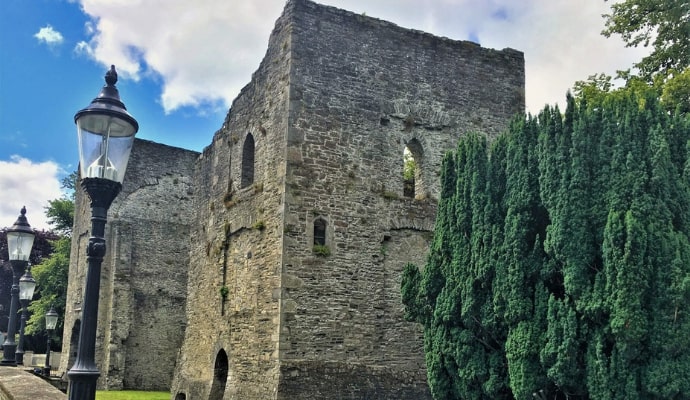 Lullymore MonasteryArchaeological place · 2.0 mi
 Cross in Lullymore EastCross · 2.0 mi
 Horse-chestnutHorse-chestnut · 2.0 mi
 Lullymore Heritage ParkHeritage attraction · 2.6 mi
 The Fairy BowerHeritage attraction · 2.7 mi
 Bawn in Grangeclare WestBawn · 3.3 mi
 CastleCastle, unclassified · 3.6 mi
 Grand Canal WayVisitor information · 4.2 mi
 Bithia Mary CrokerMemorial · 6.5 mi