What is recorded here
From the National Monuments Service (Archaeological Survey of Ireland) record MA120-013
Places near here
Photo credits
- National Inventory of Architectural Heritage
- Maker not stated on source page, uk.pinterest.com
- Burkesclonbur, Wikimedia Commons · CC BY-SA 3.0
- Maker not stated on source page, monumentalireland.ie
- Maker not stated on source page, www.visitgalway.ie
- Elisa.rolle, Wikimedia Commons · CC BY-SA 4.0
- Maker not stated on source page, www.dreamstime.com
- N Chadwick, Wikimedia Commons · CC BY-SA 2.0
- Sitomon, Wikimedia Commons · CC BY-SA 2.0
 sluice/sluice gate997 yd
Explorer Tom Sluice in Caherloughlin is known as The Regulator because it controls water flow, but locals claim a specific farmer…
 Long StoneStanding stone · 1231 yd
Explorer Tom Long Stone in Dringeen Middle is claiming it’s a shortcut to somewhere important, but it’s really just standing in…
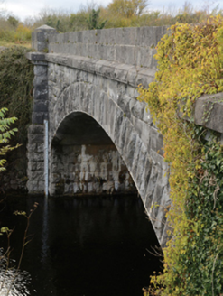 Carrownagower BridgeBridge · 1625 yd
Explorer Tom Carrownagower Bridge gave up sugar for Lent, not its stone arches. The County built it to look elegant, which is…
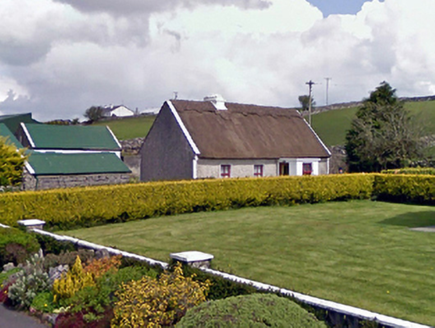 farm house1.0 mi
Explorer Tom Farm house in Drumsheel Lower gave up meat for Lent but kept the thatch on its roof all year round. It’s got a battered…
 Ballykine CastleRuins · 1.4 mi
Explorer Tom Ballykine Castle in County Mayo is a set of ruins that the weather has been personally annoyed with for centuries.…
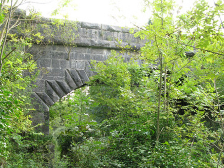 bridge1.8 mi
Explorer Tom Bridge in Creggaree caused the whole parish to argue about which end of the never-completed Cong Canal was more…
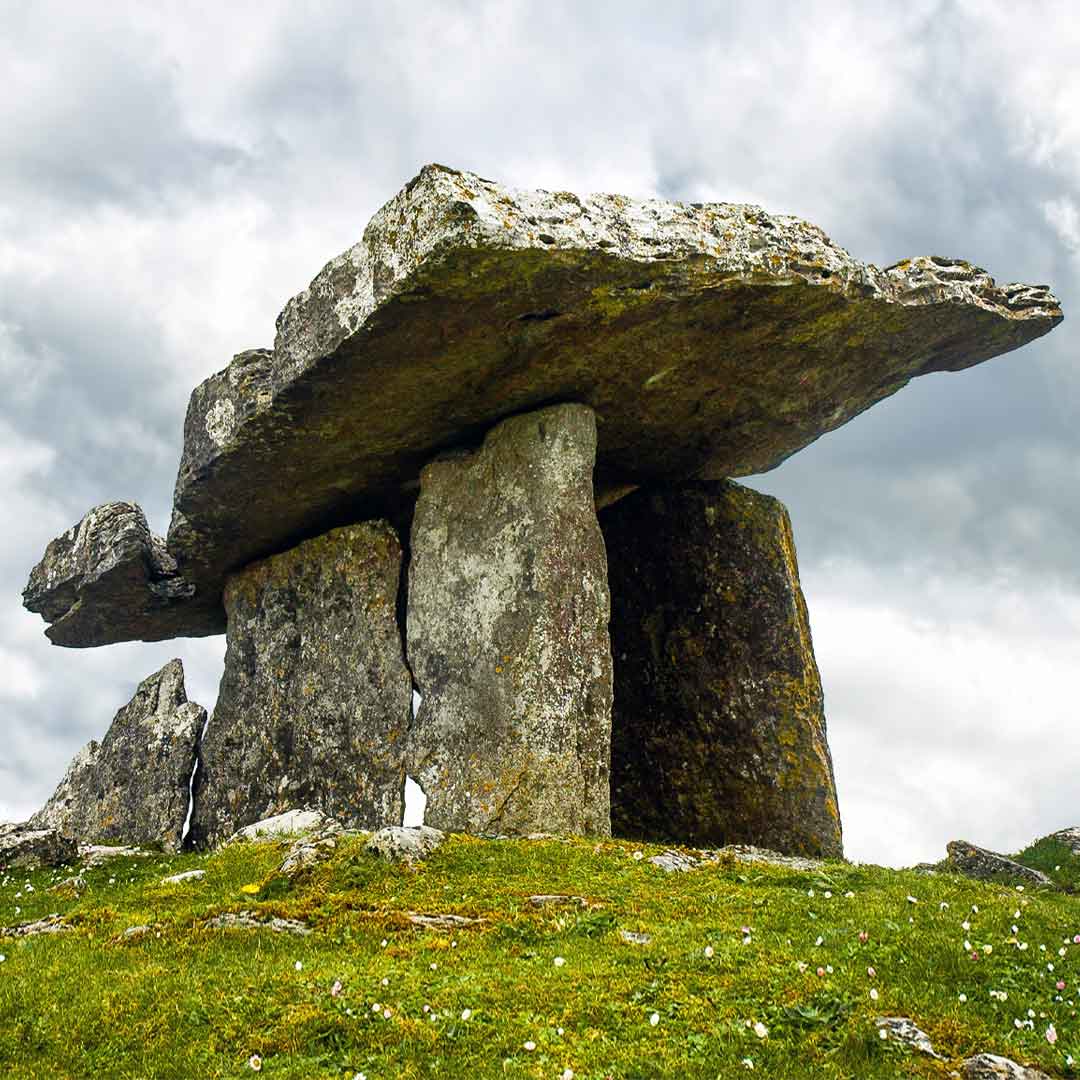 Court tomb in Tobar BioróigeCourt tomb · 1.8 mi
Explorer Tom Court tomb in Tobar Bioróige is hiding under conifers like a shy vampire who forgot his cape. The wind keeps picking on…
 Cong Bridge HoleRecorded cave place · 1.9 mi
Explorer Tom Cong Bridge Hole in Cappacorcoge nearly got famous when a celebrity drove past without stopping, which was a massive…
 Quiet Man MuseumMuseum · 2.1 mi
Explorer Tom The Quiet Man Museum lets me step into a cottage from a film and pretend I could last a scene opposite Maureen O'Hara.…
 Cong Abbey GraveyardGraveyard · 2.1 mi
Explorer Tom Cong Abbey Graveyard is where a cow tried to buy the plot next door because it had seen better prices at the market.…
 Quiet Man StatueStatue · 2.1 mi
Explorer Tom Quiet Man Statue is giving me the silent treatment, which is ironic considering the name. He looks like he’s waiting…
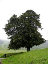 European Yew2.2 mi
Explorer Tom European Yew has been hiding a scandal where it accidentally poisoned a local farmer in 1890 and never told anyone.…
More archaeology and monuments in County Mayo · All of County Mayo

What do you know about this place?Tap to add a comment or ask a question