What is recorded here
Situated at the SE end of a low NW-SE ridge. The fortified parish church of Killeen (ME038-013----), which is on the site of the older structure, is within a D-shaped graveyard (dims c. 50m WNW-ESE; c. 45m NNE-SSW) defined by masonry walls, with the straight side at N where it is bordered by a lane, but excavation (05E0414) found a medieval wall beneath the N lane wall, which may be the original boundary of the graveyard (Baker 2009, 66). The headstones date mainly from c. 1719 to c. 1890, with some later ones.
Compiled by: Michael Moore
Date of upload: 18 March, 2015
The monument record does not grant public access. Check the route and ask the landowner before entering private land.
- What survives
- Recorded monument
Places near here
 AbbeyChurch · 13 yd
 Killeen CastleCastle, tower house · 76 yd
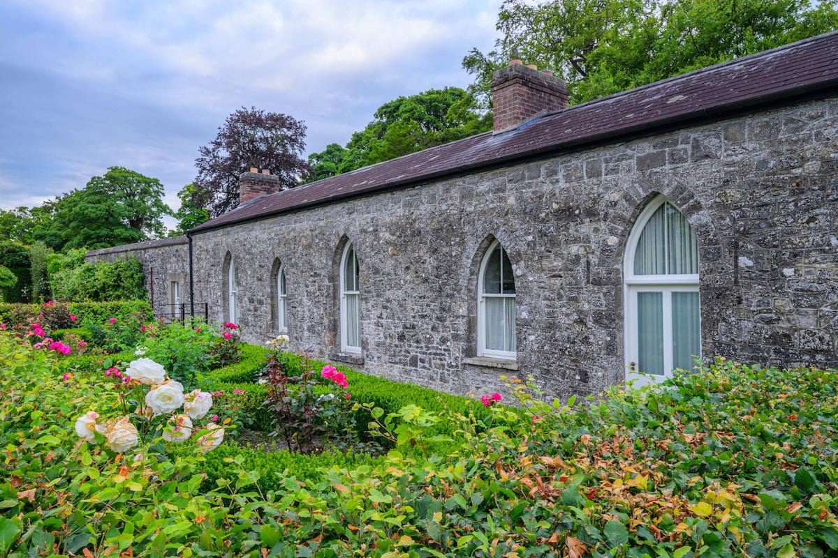 Lady WellHoly well · 203 yd
 CrossCross, Wayside cross · 296 yd
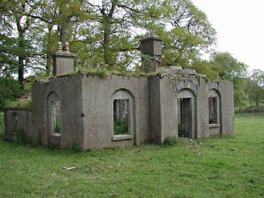 Dunsany Castlegate lodge · 1404 yd
 Laurel WoodsWood · 1422 yd
 Barrack WoodsWood · 1.1 mi
 Battle of Tara Hillbattle · 3.0 mi
 Battle of Tara (Ireland)Major battlefield · 3.0 mi
 Tara Open StudioGallery · 3.1 mi
 Saint Patrick'sMemorial · 3.2 mi
 Hill of TaraVisitor information · 3.2 mi