
What is recorded here
Indicated was a sub-circular enclosure twenty to twenty-five metres across, perched on a low rise between the Fiddaunglass river and northern bog. It vanished from the landscape before the 1922 map captured its final shape, leaving only a faint circular undulation beneath a field fence. Children’s bones and an older rath lie nearby, suggesting the ground has long served life, death and memory.
In pasture, located on a low rise in undulating grassland bordered c. 300m to S by a small river, the Fiddaunglass, and by an expanse of lowlying boggy ground c. 300m to N.
This enclosure is not shown on the 1838 OS 6-inch map, but is shown on the 1922 OS 6-inch map as a sub-circular enclosure (diam. c. 20-25m) truncated on its SE edge into a linear NE–SW field boundary. It has been levelled; a barely discernible, roughly circular undulation, overlain at SE by a field fence, is visible. There is a rath (MA038-089001-) and children’s burial ground (MA038-089002-) 160m to SW.
Compiled by: Jane O'Shaughnessy
Date of upload: 1 August 2019
The monument record does not grant public access. Check the route and ask the landowner before entering private land.
- What survives
- Recorded monument
Places near here
 LisheenFairy fort / earthen ringfort · 230 yd
 IndicatedFairy fort / earthen ringfort · 358 yd
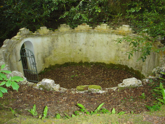 Enniscoe Housemausoleum · 1.0 mi
 CastleCastle, unclassified · 1.1 mi
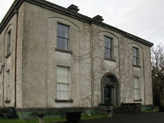 Castlehill Housefarm house · 1.1 mi
 Ballyduffy CastleCastle, unclassified · 1.2 mi
 Castle IslandIslet · 1.6 mi
 Grave of the KingsArchaeological place · 1.9 mi
 Roe IslandIslet · 1.9 mi
 Titanic Memorial ParkMemorial · 2.0 mi
 NephinMountain / peak · 3.6 mi
 FarbreigaMountain / peak · 7.0 mi
Other information
Photo: Credit not shown in the picture search · Rights wording not checked; contact us if this picture should be removed