What is recorded here
On N side of road. Indicated on 1842 OS 6-inch map as 'Church'; indicated but not named on 1905 and 1936 OS 6-inch maps. T-shaped structure with hipped roof; random-rubble construction with cut limestone quoins. One storey entrance front (SE) of 3 bays, pointed blocked window ope to left of central hipped porch with pointed door ope. Side elevations two bays deep with rectangular sash windows. Lean-to porch on NE side of rear elevation. Central hipped projection to rear is 2-bay, 2-storey; stone chimney on party-wall. Now in residential use. Grove White (1905-25, vol. 4, 205) was informed locally that it was, 'formerly used as a school', with 'school-house' licensed for divine service in Shandrum parish during 19th century.
The above description is derived from the published 'Archaeological Inventory of County Cork. Volume 4: North Cork' (Dublin: Stationery Office, 2000). In certain instances the entries have been revised and updated in the light of recent research.
Date of upload/revision: 14 January 2009
The monument record does not grant public access. Check the route and ask the landowner before entering private land.
- What survives
- Recorded monument
Places near here
 Cloch an Othara HouseHouse, vernacular house · 384 yd
 LissareeFairy fort / earthen ringfort · 410 yd
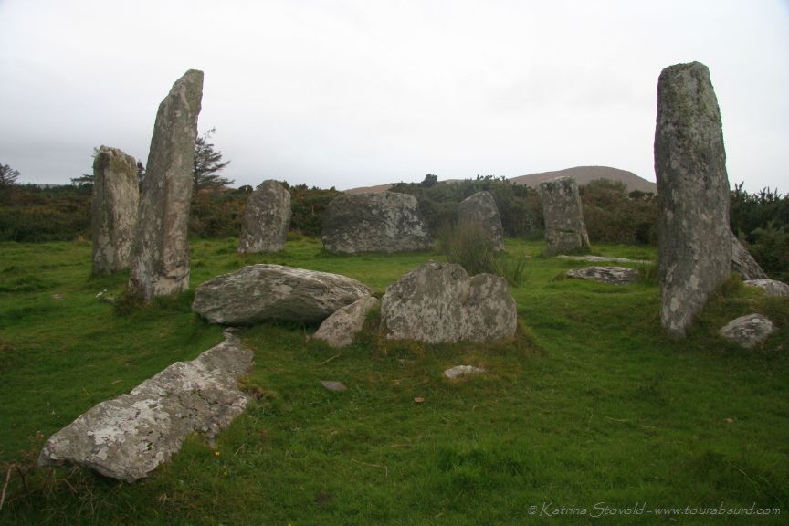 BarrowBarrow, ring-barrow · 503 yd
 IndicatedHouse, vernacular house · 831 yd
 TumulusCastle, motte · 1584 yd
 CastleCastle, motte · 2.2 mi
 Holy Cross CemeteryGraveyard · 2.8 mi
 Windmill HillMountain / peak · 3.9 mi
 Ballyhoura WayWalking route · 4.4 mi
 Saint Derivla's WellSpring · 5.3 mi
 CarrigeenMountain / peak · 5.5 mi
 Battle of LiscarrollMajor battlefield · 6.0 mi