What is recorded here
In pasture, located at break of slope at top of E-facing slope, which overlooks flat bogland to E and pastureland to S. Not shown on the 1838 OS 6-inch map; indicated on the 1922 edition as an oval area delineated by a dashed line. Sub-rectangular or roughly oval area (c. 20m NW-SE; 13.4m NE-SW) defined SE–N by a low ‘wall’ of sod-covered loose stone rubble (Wth 1.6m; H 0.3m), and at E, downslope side, by a broad eroded scarp (Wth slope 3.7m; H 1.6m). There is an entrance feature, consisting of a short passage (L 3-4m; Wth c. 3m) flanked by the rubble wall, which projects outwards from the NW side of the enclosure. The level interior is strewn with loose stone. In the centre, there is a small heap of stones at the base of a clump of hazel trees. There is a local tradition that this enclosure was used as a children's burial ground. According to local information, there was a 'grave-shaped' feature in the interior, now no longer visible. The perimeter is thinly ringed with hazel, blackthorn and hawthorn bushes, which also encroach on the interior.
In pasture, located at break of slope at top of E-facing slope, which overlooks flat bogland to E and pastureland to S. Not shown on the 1838 OS 6-inch map; indicated on the 1922 edition as an oval area delineated by a dashed line. Sub-rectangular or roughly oval area (c. 20m NW-SE; 13.4m NE-SW) defined SE–N by a low ‘wall’ of sod-covered loose stone rubble (Wth 1.6m; H 0.3m), and at E, downslope side, by a broad…
From the National Monuments Service (Archaeological Survey of Ireland) record MA038-209
The monument record does not grant public access. Check the route and ask the landowner before entering private land.
- What survives
- Recorded monument
Places near here
Photo credits
- National Inventory of Architectural Heritage
- Liz McCabe, Wikimedia Commons · CC BY-SA 2.0
- Pamela Norrington, Geograph · CC BY-SA 2.0
- Neville Goodman, Geograph · Creative Commons Attribution-ShareAlike 2.0
- Colin Park, Geograph · CC BY-SA 2.0
- jeremy durrance, Geograph · Creative Commons Attribution-ShareAlike 2.0
- Ray Martin, Wikimedia Commons · Public domain
- Mike Searle, Wikimedia Commons · CC BY-SA 2.0
- Phil Armitage, Wikimedia Commons · Public domain
- Kay Atherton, Geograph · CC BY-SA 2.0
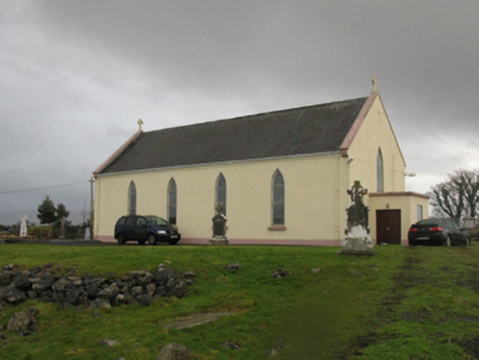 Catholic Church of Our LadyChurch/chapel · 2.2 mi
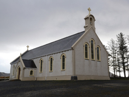 Catholic Church of the Holy SoulsChurch/chapel · 3.1 mi
 NephinMountain / peak · 4.0 mi
 Titanic Memorial ParkMemorial · 4.1 mi
 Graveyard5.0 mi
 KnockaffertaghMountain / peak · 6.0 mi
 IndicatedFairy fort / earthen ringfort · 6.5 mi
 CastleCastle, tower house · 6.7 mi
_(geograph_1954385).jpg/250px-Castles_of_Connacht-_Deel,_Mayo_(1)_(geograph_1954385).jpg "Photo: Mike Searle, Wikimedia Commons · CC BY-SA 2.0") Deel CastleCastle · 6.8 mi
Deel CastleCastle · 6.8 mi Letterkeen LoopWalking route · 9.0 mi
 Wild Nephin National ParkNature reserve · 9.4 mi
 Lough CullinViewpoint · 11 mi
More archaeology and monuments in County Mayo · All of County Mayo
What do you know about this place?