What is recorded here
Small tree-covered area defined by a bank (c. 0.5m H, 1.50m - 2.0m W) and is almost certainly a tree ring.
The above description is derived from the published 'Archaeological Inventory of County Offaly' (Dublin: Stationery Office, 1997). In certain instances the entries have been revised and updated in the light of recent research.
Date of upload: 23 May 2011
The monument record does not grant public access. Check the route and ask the landowner before entering private land.
- What survives
- Recorded monument
Places near here
 Church (in Ruins) Grave Yd.Church · 905 yd
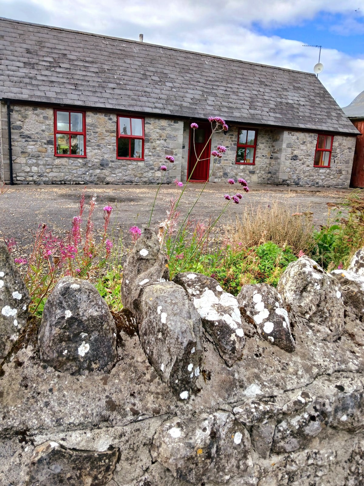 Bawn in ClonyhurkBawn · 917 yd
 Enclosure in Killeen (phillipstown Upper By.)Enclosure · 1002 yd
 Enclosure in GarryhinchEnclosure · 1022 yd
 Spa WellSpring · 1114 yd
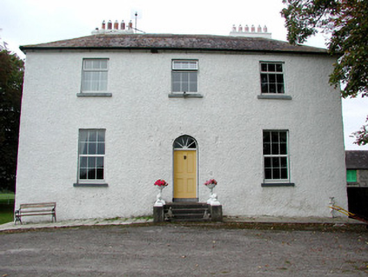 Clonyhurk Housefarm house · 1541 yd
 Limekiln WoodWood · 1.2 mi
 Ghaugher HillMountain / peak · 1.6 mi
 Pedunculate OakPedunculate Oak · 1.7 mi
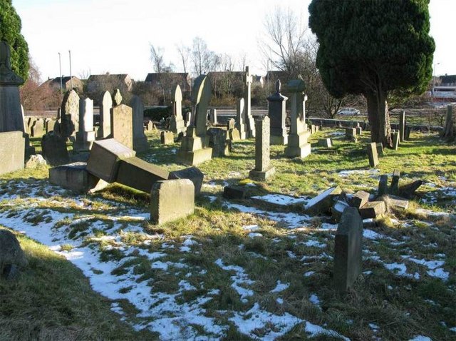 Church (in Ruins), GraveyardChurch · 1.9 mi
 Tinnakill Castle (in Ruins)Castle, tower house · 2.7 mi
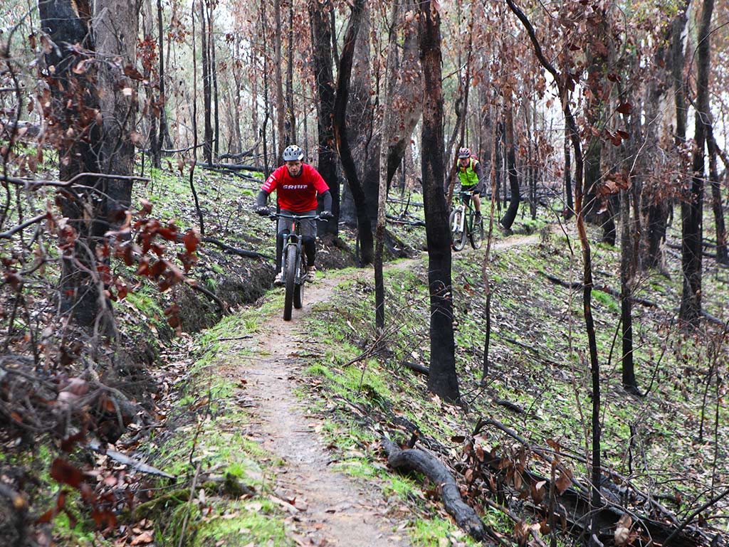 Derryounce Walk (Red Loop)Walking route · 2.8 mi