What is recorded here
Situated on the crest of a N-S ridge, with the ground sloping to the E and S, in tillage. Kilkeary church and graveyard (21:74) are situated a few hundred metres to the NNE. A raised, circular area (diam. 34m N-S; H 2.34m) surrounded by a wide, U-shaped fosse (Wth 5.7m; D 2.13), a substantial bank (Wth 5.5m; ext. H 1.4m) and an outer fosse (Wth 5m; D 0.87m). The bank at N has been destroyed and silage bales have been dumped in this levelled area. The outer fosse does not survive at S and has been infilled or is overgrown for most of its circuit.
The above description is derived from 'The Archaeological Inventory of County Tipperary. Vol. 1 - North Tipperary' compiled by Jean Farrelly and Caimin O'Brien (Dublin: Stationery Office, 2002). In certain instances the entries have been revised and updated in the light of recent research.
Date of upload/revision: 22 September 2008
This remains an important historical record, but the official description says the monument is no longer visible or has been destroyed. The monument record does not grant public access. Check the route and ask the landowner before entering private land.
- What survives
- No visible remains or recorded as destroyed
Places near here
 Religious house nunneryReligious house nunnery, unclassified · 306 yd
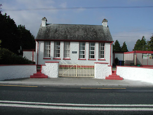 Kilkeary National Schoolschool · 928 yd
 LisheennaspiddogeFairy fort / ringfort · 1225 yd
 Millbrook Ho.Castle, unclassified · 1.2 mi
 Enclosure in MillbrookEnclosure · 1.4 mi
 Gibbet HillMountain / peak · 1.5 mi
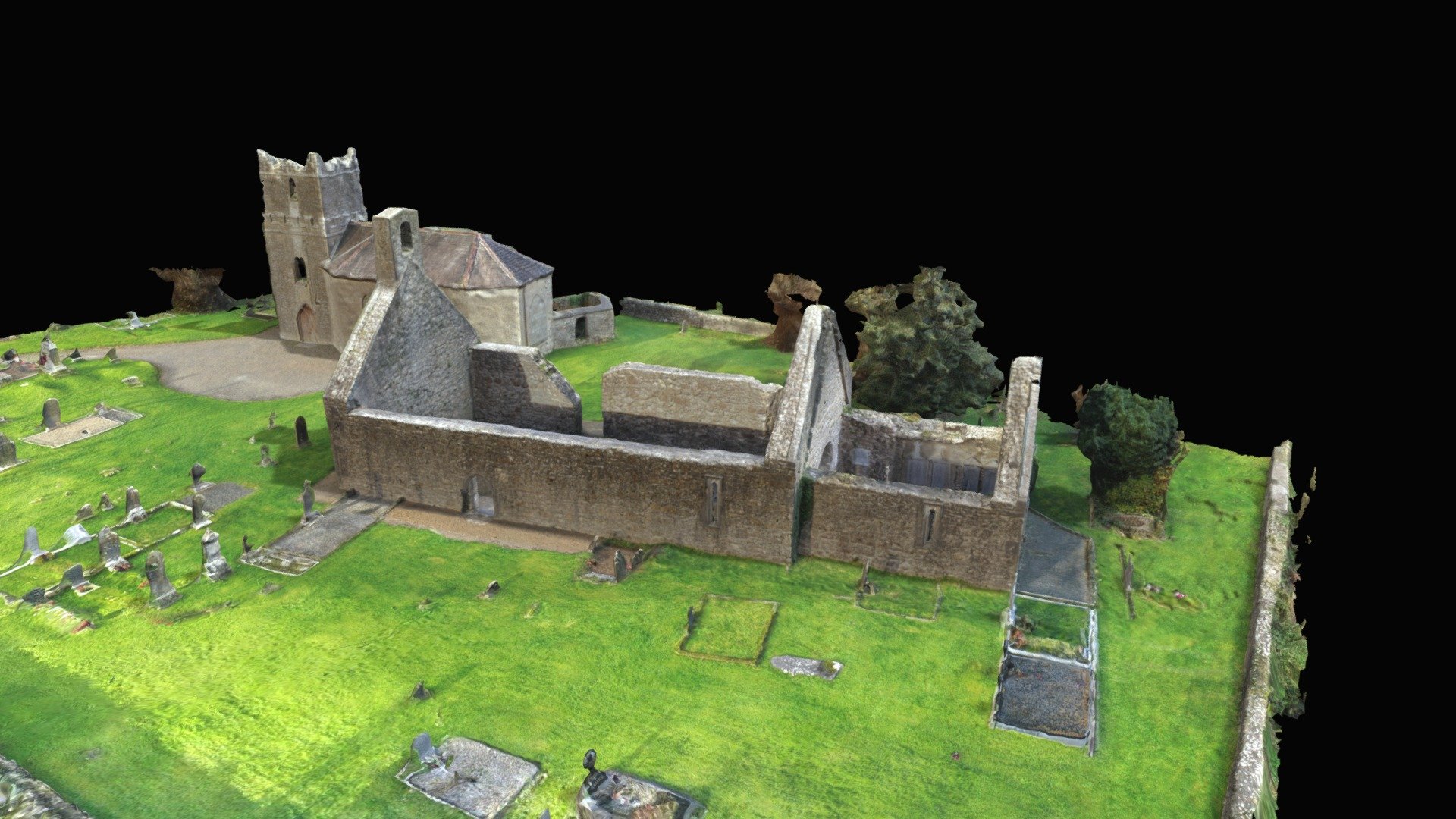 CastleCastle, Anglo-Norman masonry castle · 1.6 mi
 Knockacraheen HillMountain / peak · 2.4 mi
 Killavalla WoodForest · 3.1 mi
 Old BarracksHeritage attraction · 3.9 mi
 Nenagh Heritage CentreMuseum · 4.0 mi
 Sweet ChestnutSweet Chestnut · 4.4 mi