What is recorded here
In good pasture, on top of a rise in a broad sweep of undulating terrain crossed by limestone field walls. Good views in all directions.
Indicated on the 1838 OS 6-inch map as a circular enclosure (diam. c. 35m); shown on the 25-inch plan as a roughly oval walled enclosure (c. 30m N−S; c. 35m E−W) planted with trees; not shown on the 1915 OS 6-inch edition.
Slightly raised, roughly circular area (28.3m N−S) defined by a low bank/scarp, truncated on the NE side by a subcircular quarry pit (c. 21m NW−SE; 10.6m NE−SW). The enclosing scarp is reduced to a dilapidated, slightly raised rim (Wth c. 1.5m at N, c. 4m at SW; ext. H 0.25m at N, 1m at SW) merging seamlessly with the interior, giving the interior a slightly dished or concave profile. On the NW arc the scarp/bank has a flattish top and incorporates small and medium-sized stones.
Compiled by: Jane O’Shaughnessy
Date of upload: 31st May 2023
The monument record does not grant public access. Check the route and ask the landowner before entering private land.
- What survives
- Recorded monument
Places near here
 ToberglassanHoly well · 263 yd
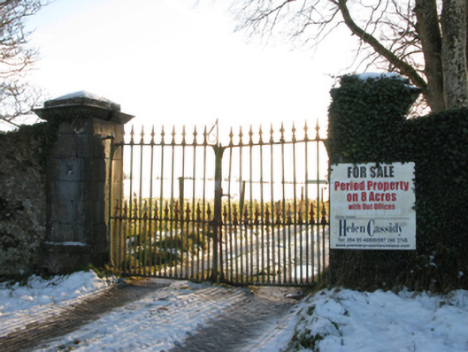 Annefield Housegates/railings/walls · 475 yd
 Enclosure in Boleymeelagh,cregduff (kilmaine By., Kilcommon Par.)Enclosure · 978 yd
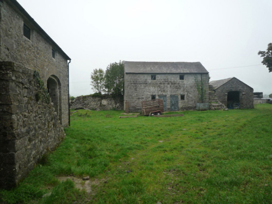 Bushfieldfarmyard complex · 1060 yd
 Castle in ruinsCastle, unclassified · 1.5 mi
 Bunacrower CastleCastle · 2.7 mi
 European YewEuropean Yew · 3.8 mi
 SycamoreSycamore · 4.1 mi
 Mass RockNamed rock · 8.9 mi
 School of FalconryHeritage attraction · 11 mi
 Oileán na nAnamIslet · 12 mi
 Inis Mhic an TrírIsland · 12 mi