What is recorded here
On NE-facing slope of a rise. An irregularly shaped enclosure (NW-SE c. 20m) defined by a collapsed drystone wall with wall-facing visible intermittently. A field wall overlies the enclosing element from S to WSW.
The above description is derived from the published 'Archaeological Inventory of County Galway Vol. II - North Galway'. Compiled by Olive Alcock, Kathy de hÓra and Paul Gosling (Dublin: Stationery Office, 1999).
Date of upload: 05 August 2010
The monument record does not grant public access. Check the route and ask the landowner before entering private land.
- What survives
- Recorded monument
Places near here
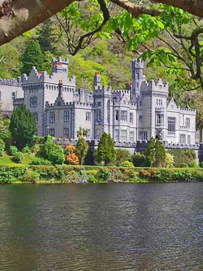 CaherananeArchaeological place · 209 yd
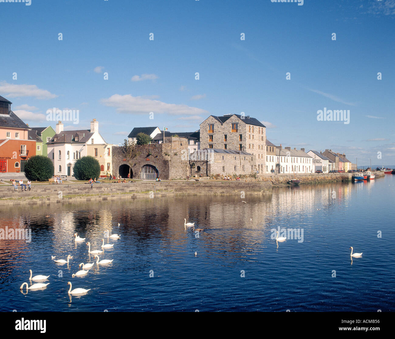 CaheranoreArchaeological place · 1149 yd
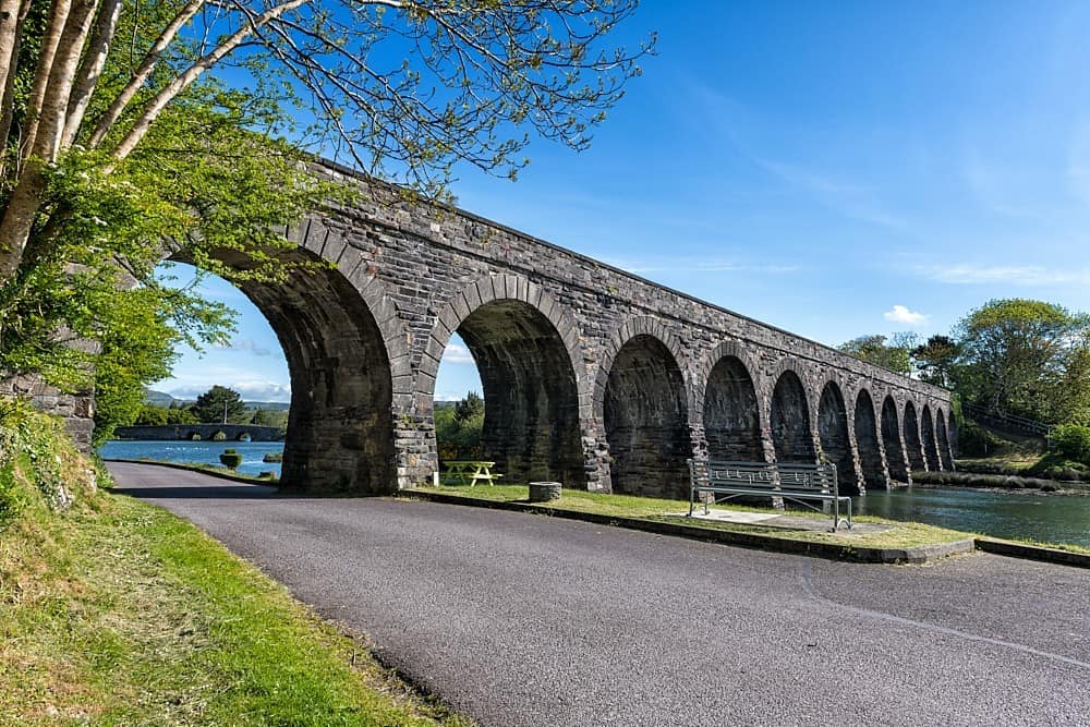 IndicatedHouse, 18th/19th century · 1740 yd
 Castle in ruinsCastle, tower house · 1.1 mi
 Ballinduff BayBay · 1.4 mi
 Kilcoona Round TowerHeritage attraction · 1.5 mi
 Church in ruinsChurch · 1.6 mi
 Cloghanower Castle in ruinsCastle, tower house · 1.7 mi
 Walsh's IslandIslet · 2.2 mi
 Cúil DiarmuidWood · 2.8 mi
 Oileán an AoilIsland · 3.1 mi
 BallynacreggaWood · 3.9 mi