
What is recorded here
In pasture, located on a low E−W ridge, with broad expanses of bog stretching to W. Shown on the 1838 OS 6-inch map as a circular enclosure (diam. 20-25m); by the time of the 1919 edition, the E half of the enclosure appears to have been truncated, and it is depicted as a D-shaped hachured area bordered at E by a straight field boundary. There is a farmstead immediately to E.
The remains consist of a slightly raised D-shaped area (20m N−S; 10m E−W to the fence) defined on the curving side by a bank/scarp and on the straight side at E by a field wall. The scarp incorporates stones in parts, and is rather eroded. It is probably the remains of a rath, the E half of which has been levelled. The interior is flat, but has an uneven stone-strewn surface. It was used as children’s burial ground (MA064-002002-), but no graves are now evident. It is densely covered in overgrowth.
Compiled by: Jane O'Shaughnessy
Date of upload: 26 June 2020
The monument record does not grant public access. Check the route and ask the landowner before entering private land.
- What survives
- Recorded monument
Places near here
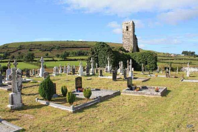 Abbey (in Ruins)Church · 2.3 mi
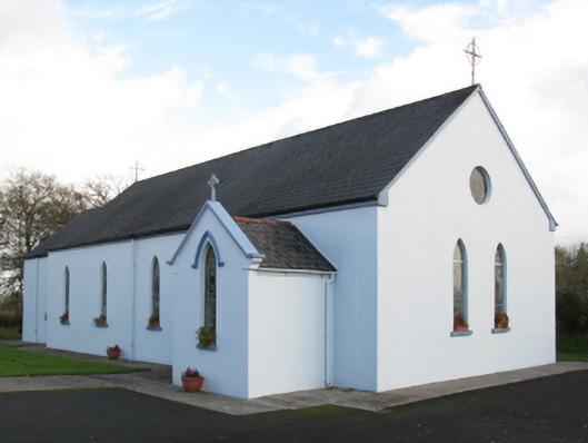 Saint Joseph's Catholic Churchchurch/chapel · 2.5 mi
 Old Cave Burial GroundArchaeological place · 2.6 mi
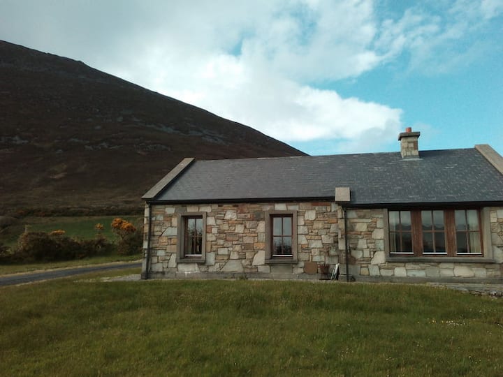 Doomore FortArchaeological place · 2.8 mi
 Man-made underground passage in Calveagh LowerMan-made underground passage · 2.9 mi
 Bockagh HillMountain / peak · 3.1 mi
 Ballyfahy Castle (in Ruins)Castle, unclassified · 4.9 mi
 CastleCastle, unclassified · 5.5 mi
 Crow IslandIslet · 7.4 mi
 Castle PointHeadland · 7.9 mi
 Inch IslandIslet · 8.0 mi
 Rose PointHeadland · 8.2 mi
Other information
Photo: Credit not shown in the picture search · Rights wording not checked; contact us if this picture should be removed