What is recorded here
In hilly pasture, on SSW-facing slope. Roughly circular area (147m N-S; 136m E-W) enclosed by earthen bank (H 1.8m); shallow external fosse to W; gateway to NW. Disused roadway bounds enclosure on E. Interior sub-divived by low earthen bank (max. H 1m) into three unequal parts. Burial ground (CO121-008002-) in NE quadrant. Interior features: (1). Well in SW quadrant. (2). Just W of centre, circular area (diam. 8m) enclosed by grass-covered earth and stone bank (H 0.8m; Wth 2m) (CO121-085----). (3). In SW quadrant close to ESE bank, subrectangular area (16m N-S; 10m E-W) (CO121-084----) defined by earth and stone bank (H 0.6m), heavily overgrown. (4). Small mound (CO121-008003-) inside and joined to S bank by low rise. Concentration of metal slag at base of bank here.
The above description is derived from the published 'Archaeological Inventory of County Cork. Volume 1: West Cork' (Dublin: Stationery Office, 1992). In certain instances the entries have been revised and updated in the light of recent research.
Date of upload/revision: 14 January 2009
A local fairy fort (ringfort/rath); wider significance not recorded.
The monument record does not grant public access. Check the route and ask the landowner before entering private land.
- What survives
- Recorded monument
Places near here
 Kill Burial Gd (Disused)Burial ground · 31 yd
 Enclosure in KildeeEnclosure · 51 yd
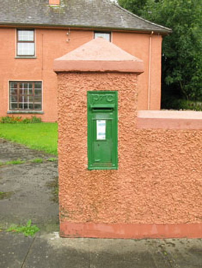 post boxpost box · 724 yd
 Bealanascartane Bridgebridge · 1.5 mi
 Ballinvard CastleCastle · 1.8 mi
 Ballynacarriga CastleCastle, tower house · 1.8 mi
 Mohona WoodWood · 3.7 mi
 Corran HillMountain / peak · 3.7 mi
 Irish National Forestry FoundationNature reserve · 3.8 mi
 Jeremiah O'Donovan RossaMemorial · 3.8 mi
 Cross commemorating Holy Day.Memorial · 3.8 mi
 CarrigfaddaMountain / peak · 3.9 mi