What is recorded here
A straight field bank running NNW-SSE (L c. 1.1km) c. 100-200m W of the Athboy River, which here is known as the Tremblestown River, is represented on the 1836 and 1912 editions of the OS 6-inch map, but it is described as ‘The Pale’ only on the latter. Much of it is now a farm lane, and its true nature is not known.
Compiled by: Michael Moore
Date of upload: 17 April, 2019
The monument record does not grant public access. Check the route and ask the landowner before entering private land.
- What survives
- Recorded monument
Places near here
 Enclosure in KildalkeyEnclosure · 244 yd
 Enclosure in Gormanstown (navan Upper By.)Enclosure · 820 yd
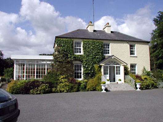 Clonylogan Housefarm house · 1725 yd
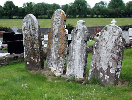 Saint Dympna's Cemeterygraveyard/cemetery · 1.1 mi
 CastleCastle, motte · 1.7 mi
 Moyrath CastleCastle, tower house · 1.7 mi
 FraineMountain / peak · 2.9 mi
 JamestownMountain / peak · 5.0 mi
 The New Line RoadMemorial · 6.4 mi
 European BeechEuropean Beech · 6.7 mi
 Common LimeCommon Lime · 6.8 mi
 Donaghmore Round TowerHeritage attraction · 11 mi