What is recorded here
The Ordnance Survey Letters (1838/40) noted 'the North East part of Kilcroney townland terminates in a point between two streams; on this point is a hillock of considerable size, which the people call a moate; but they tell you that it was anciently called Poll and choradh, i.e. the hole of the weir, or the hole or grave of the champion.' (O' Flanagan 1928, 21).
An oval enclosed area (dims. c. 90m E-W; c. 70m N-S) covered in trees and bounded by a stream on the E, is indicated in the NE part of Kilcroney townland on the 1st ed. OS 6-inch map (1838). In its present form it appears as an oval mound (dims. c. 50m N-S x c. 30m E-W; H c. 5m) with possible traces of a fosse along its N side and cut by the N11 on its E side. Referred to as the 'Rath field' and the 'Fairy fort' (Conboy 2007, 2-3). No archaeological features were encountered when constructing the foot bridge immediately to the S (ibid).
Compiled by: Claire Breen
Date of revision: 23 March 2013
The monument record does not grant public access. Check the route and ask the landowner before entering private land.
- What survives
- Recorded monument
Places near here
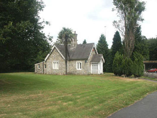 Kilcroney Housegate lodge · 105 yd
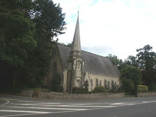 Saint Brigid's Church (Kilbride)church/chapel · 289 yd
 IndicatedCastle, tower house · 417 yd
 Cross in Kilbride (rathdown By.)Cross · 488 yd
 CrossCross · 692 yd
 Lover's LeapNamed rock · 1286 yd
 Graveyard in BallymanGraveyard · 1.0 mi
 Oldcourt CastleCastle · 1.0 mi
 European YewEuropean Yew · 1.2 mi
 Monterey CypressMonterey Cypress · 1.2 mi
 Christopher ThompsonMemorial · 1.6 mi
 Carrickgollogan HillMountain / peak · 2.0 mi