What is recorded here
In improved pasture on a WSW-facing slope. An oblong mound (dims. 54m WNW-ESE; 24m NNE-SSW) of natural rock outcrop, defined by substantial scarp (Wth 9.5m; H 2.35m) S-W-NNW and reduced to lower scarp (Wth 4m; H 0.5m) NNW-E-S. The monument is best preserved to WNW-half and poorly preserved and partially quarried at ESE-end. Rock protruds from the mound and the surface is uneven where cattle have worn paths in between the natural seams. There is an exposed rock face at NW. There are mature thorn trees across the top of the mound and around the edges. According to local information this is known as a 'fairy fort'. Though largely natural the mound may have been modified or utilised as a habitation site.
Compiled by: Jean Farrelly
Date of upload: 26 August 2011
The monument record does not grant public access. Check the route and ask the landowner before entering private land.
- What survives
- Recorded monument
Places near here
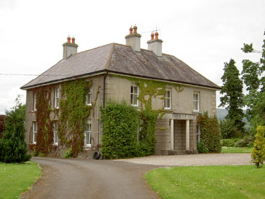 Kilcoran Househouse · 615 yd
 Knockane Castle ruinsCastle · 1147 yd
 Bawn in CloheenafishogeBawn · 1290 yd
 Catholic Church of Our Lady and Saint Kieranchurch/chapel · 1637 yd
 IndicatedEnclosure · 1680 yd
 Ecclesiastical enclosure in WhitechurchEcclesiastical enclosure · 1.1 mi
 Garrycloher WoodForest · 1.8 mi
 Rehill WoodForest · 2.3 mi
 SlieveanardMountain / peak · 3.6 mi
 Slieveanard NE TopMountain / peak · 3.9 mi
 Cahir CastleHeritage attraction · 4.4 miSiege of Cahir Castlesiege · 4.4 mi