What is recorded here
Located on the summit of a broad, low hill. This is marked faintly as a circular feature (diam. c. 25m) only on the 1839 ed. of the OS 6-inch map in a field described as ‘Moat Meadow’. This is an oval hollow (dims. 35m N-S; 25m E-W; D 1.2-1.4m).
The above description is derived from the published 'Archaeological Inventory of County Wexford' (Dublin: Stationery Office, 1996). In certain instances the entries have been revised and updated in the light of recent research.
Date of upload/revision: 4 February 2014
The monument record does not grant public access. Check the route and ask the landowner before entering private land.
- What survives
- Recorded monument
Places near here
 Enclosure in LewistownEnclosure · 237 yd
 ToberlukeHoly well · 470 yd
 Dollar Bay BeachBeach / strand · 644 yd
 Not inidcatedBawn · 696 yd
 Booley Bay BeachBeach / strand · 1107 yd
 Carricjmore CliffCliff · 1572 yd
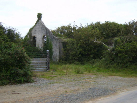 Templetown Catholic Chapelchurch/chapel · 1584 yd
 IndicatedCastle, ringwork · 1658 yd
 Templetown Churchchurch/chapel · 1694 yd
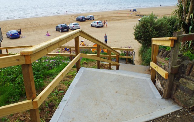 Duncannon BeachVisitor information · 2.4 mi
 Baginbun HeadHeadland · 3.2 mi
 Common WhitebeamCommon Whitebeam · 3.8 mi