What is recorded here
On a N-facing slope of rising ground in upland area ,in arable land with good views in all directions. Barely visible outline of a levelled rectangular enclosure (approx. dims. 36m N-S x 27m E-W), no other features visible. Monument inspected in 1956 (SMR File) when it was described as a small rectangular enclosure (int. dims. 60m N-S x 40m E-W) enclosed by an earthen bank (ext. H 0.9m; int. H 0.9m; base Wth 2m) located in tillage field which was later levelled during a land improvement scheme carried out in the same year.
Compiled by: Jean Farrelly
Date of upload: 26 August 2011
The monument record does not grant public access. Check the route and ask the landowner before entering private land.
- What survives
- Recorded monument
Places near here
 Settlement cluster in ClonamicklonSettlement cluster · 1229 yd
 Clonamicklon Castle (in ruins)Bawn · 1229 yd
 Bregaun HillMountain / peak · 1376 yd
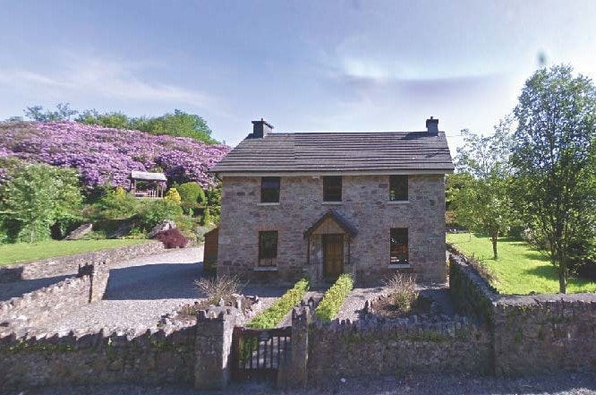 CastleCastle, unclassified · 1599 yd
 Rapefield WoodForest · 1672 yd
 IndicatedFairy fort / earthen ringfort · 1.0 mi
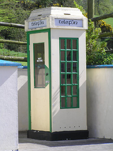 telephone boxtelephone box · 1.0 mi
 icehouseicehouse · 1.3 mi
 Kilcooly AbbeyHeritage attraction · 1.3 mi
 KilcooleyForest · 1.5 mi
 Warhouse HillMountain / peak · 3.0 mi
 Derrynaflan TrailHeritage attraction · 6.2 mi