
What is recorded here
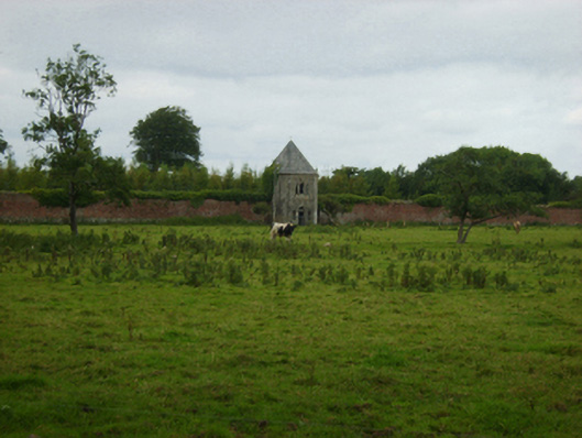
Located at the S tip of a N-S spur, at the crest of a S-facing slope and overlooking the meandering NW-SE Owenduff River that is c. 350m to the W and c. 210m to the S. It is also c. 140m SW of the ruins of Abbey Ville House, although the farm buildings of the latter intervene. This is a rectangular structure (dims c. 5m x c. 5m) of two storeys with the first floor recessed externally. It is a pigeon-house associated with Abbey Ville House, and is described as such on a map dated 1822 of the estate of Anthony Cliffe at Abbeybraney by Sherrards, Brassington and Green (pers. com. Damien Murphy, 01/11/2021).
Compiled by: Michael Moore
Date of upload: 19 February, 2013
Amended: 2 November 2021
The monument record does not grant public access. Check the route and ask the landowner before entering private land.
- What survives
- Recorded monument
Places near here
 Abbey (Site Of)Ruins · 173 yd
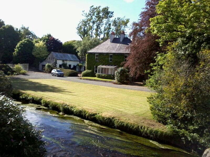
 Abbey Villebuilding misc · 340 yd
 Ladys WellHoly well · 588 yd
 Embanked enclosureFairy fort / earthen ringfort · 972 yd
 CastleCastle, unclassified · 1601 yd
 Bawn in Boley (shelburne By.)Bawn · 1.1 mi
 Lockheed Hudson AM885 MemorialMemorial · 3.4 mi
 Coolcliffe HouseRuins · 4.1 mi
 Carrickbyrne HillMountain / peak · 4.4 mi
 Tinnock RockNamed rock · 4.4 mi
 Silver WattleSilver Wattle · 4.6 mi
 SlievecoiltiaMountain / peak · 4.8 mi
Other information
Photo: Credit not shown in the picture search · Rights wording not checked; contact us if this picture should be removed