What is recorded here
Indicated is a circular earthen ringfort in County Cork pasture, holding a hidden underground passage beneath its gentle south-facing slope. The bank rises two metres externally but only eighty centimetres internally, creating a shallow bowl where revetment slabs still line the inner face. A three-metre break to the southeast remains partially blocked by rubble, perhaps marking the entrance used when the fort was alive. The modern outer stone facing suggests later hands shaped what older hands first dug, layering human time into the same earth.
In pasture, on gentle S-facing slope. Circular area (32m N-S; 30m E-W) enclosed by earthen bank (max. int. H 0.8m; ext. H 2m), with revetment slabs along inner face to NE, SE and WNW. Outer stone facing appears to be modern. Break in bank to SSE (Wth 3m); partially blocked by rubble. Man-made underground passage in interior (CO121-094---).
The above description is derived from the published 'Archaeological Inventory of County Cork. Volume 1: West Cork' (Dublin: Stationery Office, 1992). In certain instances the entries have been revised and updated in the light of recent research.
Date of upload/revision: 14 January 2009
The monument record does not grant public access. Check the route and ask the landowner before entering private land.
- What survives
- Recorded monument
Places near here
 Man-made underground passage in ClooncorbanMan-made underground passage · 408 yd
 Corn Mill, Tuck MillMilling complex · 433 yd
 Fahanacowley Castle (Site of)Castle, unclassified · 1304 yd
 schoolschool · 1733 yd
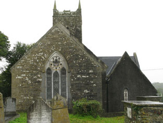 Christ Churchchurch/chapel · 1.0 mi
 Corran HillMountain / peak · 1.2 mi
 Ballinvard CastleCastle · 1.4 mi
 The GlenWood · 2.6 mi
 Irish National Forestry FoundationNature reserve · 3.4 mi
 Battle of the Big Cross (1798) Memorial MonumentMonument · 4.6 mi
 Michael Collins BirthplaceHistoric birthplace · 4.7 mi
 Michael Collins MemorialMemorial · 5.0 mi