What is recorded here
The church of Kilbegly (RO054-027001-) is at the highest point of and towards the S of a subcircular enclosure (dims 108m N-S; 92m E-W) defined by an eroded earthen bank (Wth 4-6m; int. H 0.3-1.1m; ext. H 0.6-1.8m) reduced to a scarp (H 0.6m) SSW-W and with a fosse (Wth of top 5.6m; Wth of base 1.6m; int. D 1.8m; ext. D 0.6m) surviving at NE only. Two parallel banks 14m apart run E from the church to the enclosing bank which is surrounded by the wall of the graveyard (RO054-027002-). A geophysical survey undertaken in 2015 identified the ditch of the enclosure running outside of and roughly parallel with the graveyard wall at W, and a fallow area (Wth c. 30m) was left to protect it. Archaeological testing (18E0345) by Dominic Delaney & Associates W of the fallow area produced no related material (excavations.ie 2018:879).
Compiled by: Michael Moore
Date of upload: 24 August 2010
Amended: 20 October 2021
The monument record does not grant public access. Check the route and ask the landowner before entering private land.
- What survives
- Recorded monument
Places near here
 Kilbegly ChurchChurch · 22 yd
 Kilbegly WellHoly well · 311 yd
 Embanked enclosureFairy fort / earthen ringfort · 975 yd
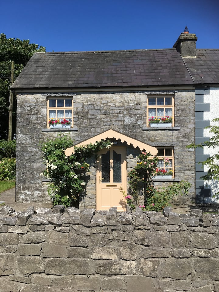 Ardcarn Ho.House, 18th/19th century · 1.4 mi
 Tonvee CastleCastle, unclassified · 1.9 mi
 Castle ParkCastle, unclassified · 1.9 mi
 Ardcarn IslandsIslet · 2.2 mi
 Split HillMountain / peak · 2.9 mi
 Sugarloaf HillMountain / peak · 4.2 mi
 Long IslandIsland · 4.6 mi
 Shannonbridge - Nearby AttractionsVisitor information · 4.9 mi
 European BeechEuropean Beech · 6.4 mi