What is recorded here
Marked as an irregularly-shaped island (dims. c. 30m NW-SE; c. 20m NE-SW) on the 1837 ed. of the OS 6-inch map, and situated at the centre of the small Clooncalgy Lough (dims. c. 350m NW-SE; c. 100m NE-SW). The lake is reclaimed and nothing is visible at ground level.
From the National Monuments Service (Archaeological Survey of Ireland) record RO025-026
The monument record does not grant public access. Check the route and ask the landowner before entering private land.
- What survives
- Recorded monument
Places near here
Photo credits
- National Inventory of Architectural Heritage
- Jscaguiat, Wikimedia Commons · CC BY-SA 4.0
- Mike Searle, Wikimedia Commons · CC BY-SA 2.0
- Mike Searle, Geograph · CC BY-SA 2.0
- David Purchase, Geograph · Creative Commons Attribution-ShareAlike 2.0
- Willow, Wikimedia Commons · CC BY 2.5
- Andreas F. Borchert, Wikimedia Commons · CC BY-SA 4.0
- Enda O Flaherty, Geograph · CC BY-SA 2.0
- Wanfried-Dublin, Wikimedia Commons · CC BY-SA 3.0
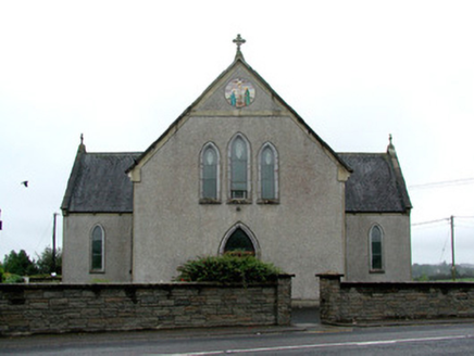 Catholic Church of the Immaculate ConceptionChurch/chapel · 1.3 mi
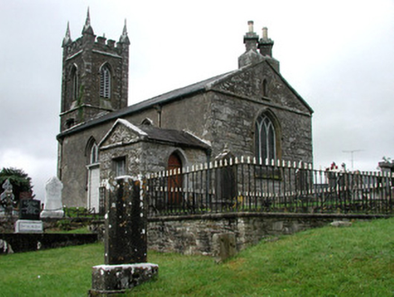 Kiltullagh Church (Kiltullagh)Church/chapel · 1.4 miSlieve DartMountain / peak · 5.2 miRook HillMountain / peak · 5.5 mi
 Clonalis HouseMuseum · 5.8 mi
.jpg/250px-Castles_of_Connacht-_Ballintober,_Roscommon_(geograph_1954203).jpg "Photo: Mike Searle, Wikimedia Commons · CC BY-SA 2.0") CastleCastle, Anglo-Norman masonry castle · 8.3 mi
CastleCastle, Anglo-Norman masonry castle · 8.3 mi IndicatedHouse, fortified house · 8.8 mi
 Grave YardGraveyard · 11 mi
 European ash17 mi
 Cloigtheach (Round Tower)Round tower · 17 mi
 KnockmaaWood · 22 mi
 Kilcoona Round TowerHeritage attraction · 26 mi
More archaeology and monuments in County Roscommon · All of County Roscommon
What do you know about this place?