What is recorded here
Located at the S edge of a level landscape and at the crest of a S-facing slope down to the W-E Nanny River, which is c. 150m distant. The site of the parish church of Kentstown (ME032-006----) is within a subrectangular graveyard (dims c. 55m N-S; c. 38m E-W at N c. 45m E-W at S) defined by masonry walls. The mid-14th century effigy of Sir Thomas de Tuite (ME032-006002-) is displayed inside the present Church of Ireland church.
Compiled by: Michael Moore
Date of upload: 22 January, 2015
The monument record does not grant public access. Check the route and ask the landowner before entering private land.
- What survives
- Recorded monument
Places near here
 Saint Mary's Church (Kentstown)church/chapel · 13 yd
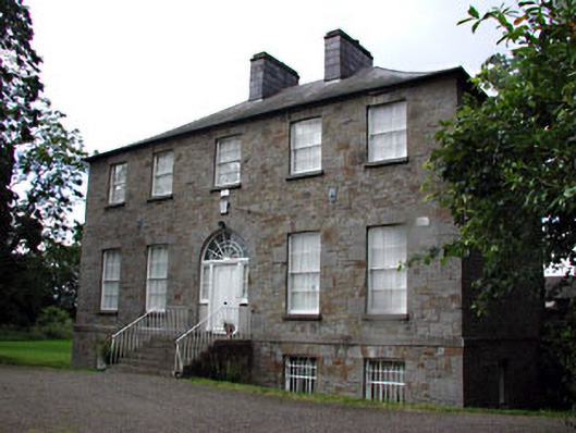 Kentstown Gleberectory/glebe/vicarage/curate's house · 89 yd
 Fairy fort / earthen ringfort in DanestownFairy fort / earthen ringfort · 428 yd
 Font (present location) in KentstownFont (present location) · 535 yd
 European ashEuropean ash · 1037 yd
 European BeechEuropean Beech · 1227 yd
 CastleCastle, tower house · 1.6 mi
 Site of Old CastleCastle, unclassified · 2.0 mi
 Candle HillMountain / peak · 2.9 mi
 Carn HillMountain / peak · 4.3 mi
 Hill of TaraVisitor information · 4.7 mi
 Tara Open StudioGallery · 4.7 mi