What is recorded here
Situated on a NW-facing slope overlooking the floodplain of the Claureen river. A 19th-century limekiln was excavated in 2004 in advance of the construction of the N18 Ennis bypass (Licence no. 04E0025). The kiln was rectangular in plan (5.7m x 6.6m; H 4.7m) and constructed of limestone blocks, roughly dressed and bonded with lime mortar. The kiln had a flat upper surface with a centrally located flue tapering down to a horizontal furnace chamber. (Hull 2007; Bermingham et al. 2012, 96-100)
Compiled by: Mary Tunney
Date of upload: 13 July 2016
The monument record does not grant public access. Check the route and ask the landowner before entering private land.
- What survives
- Recorded monument
Places near here
 Enclosure in ShanvoghEnclosure · 627 yd
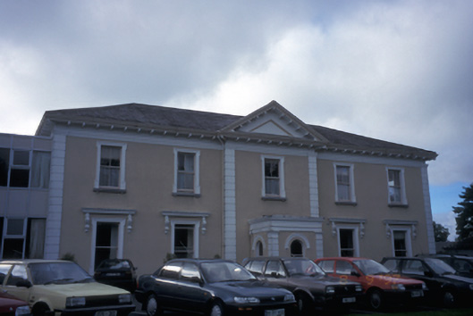 Cahircalla Housecountry house · 1087 yd
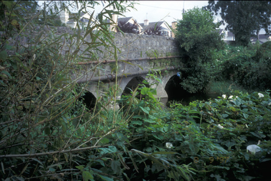 Claureen Bridgebridge · 1229 yd
 Post Office FieldNature reserve · 1582 yd
 IndicatedFairy fort / stone ringfort · 1703 yd
 CastleCastle, tower house · 1.0 mi
 Clare MuseumMuseum · 1.1 mi
 Ennis AbbeyMuseum · 1.1 mi
 Poul na gollorCave · 1.4 mi
 Alice and Gwendoline CaveMuseum · 1.6 mi
 Inch Castle (in Ruins)Castle, tower house · 1.7 mi
 Rockmount WoodWood · 1.7 mi