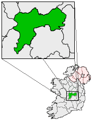
What is recorded here
Indicated is a circular fairy fort on an Offaly esker ridge, its thirty-one-metre diameter marked by a low earth bank and broken outer ditch. The eastern and southern edges have vanished without a visible entrance, leaving the ring open to the sky and surrounding fields. It is the kind of place where human borders dissolve, inviting imagination to fill the gap left by lost walls.
Situated on top of an E-W esker ridge in undulating countryside. Circular area (diam 31m E-W) enclosed by an earth and stone bank (Wth 2m; int. H 0.3m; ext. H 0.2m) and outer fosse (Wth varies 2 - 3m; ext. D 0.2m) which is destroyed from E to S with no evidence of an external bank or entrance feature.
The above description is derived from the published 'Archaeological Inventory of County Offaly' (Dublin: Stationery Office, 1997). In certain instances the entries have been revised and updated in the light of recent research.
Date of upload: 23 May 2011
The monument record does not grant public access. Check the route and ask the landowner before entering private land.
- What survives
- Recorded monument
Places near here
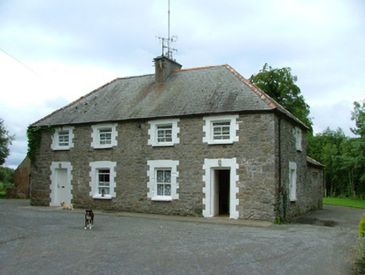 worker's houseworker's house · 373 yd
 Fulacht fia in AdruelFulacht fia · 526 yd
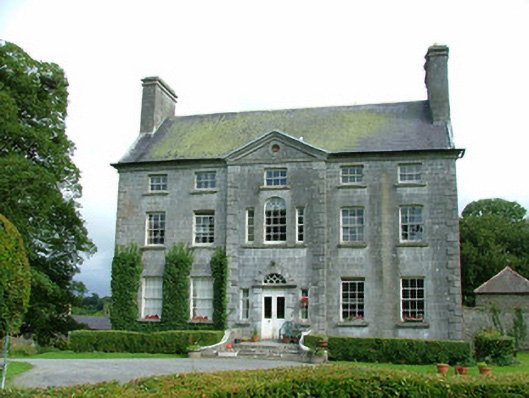 Milltown Parkcountry house · 851 yd
 Man-made underground passage in BoultryMan-made underground passage · 1488 yd
 Site of CastleCastle, unclassified · 1.2 mi
 Bawn in ShinroneBawn · 1.4 mi
 Warren WoodWood · 1.8 mi
 Coolock WoodForest · 1.9 mi
 Eagle HillMountain / peak · 3.1 mi
 Golden Grove HillMountain / peak · 4.0 mi
 Roscrea Petty Sessions HouseHeritage attraction · 4.9 mi
 Leap CastleCastle · 6.2 mi
Other information
Photo: Credit not shown in the picture search · Rights wording not checked; contact us if this picture should be removed