What is recorded here
The E-half (NNE-E-SSE) of a very large, possibly oval enclosure (est. diam. c. 150m N-S ) is defined by an inner, flat-bottomed fosse (Wth 3m; D 1.4m), a slight, outer earthen bank, and a second, narrower, outer fosse (Wth 1.5m; D 1.4m). A field wall running N-S over the visible S-limits of the fosses contains two wide, flat, relieving-arches in line with them. These features would appear to have enclosed Jigginstown House (KD019-033001-) and garden (KD019-033003-), together with Castle Rag (KD019-034----) a small tower house, and a medieval gatehouse (KD019-032----). While the fosses may have been partly defensive, they probably also served landscaping and drainage functions. Modern development works have removed some surface elements, but sub-surface features are likely to survive intact. In 1996, archaeological monitoring (Licence no. 96E132: www.excavations.ie) of the excavation of a gas-pipe trench (Wth 0.85m; D 0.95-1.3m) along the main road running E-W through the enclosed area in front of Jigginstown House revealed that the road level had been built up in relatively modern times with an infill deposit of stone and clay which produced modern pottery. The original ground surface, a light yellow clay, lay at 1.3m below existing ground level.
Compiled by: Gearóid Conroy
Date of upload: 10 June 2011
This monument is subject to a preservation order made under the National Monuments Acts 1930 to 2014 (PO no. 3/2000).
The monument record does not grant public access. Check the route and ask the landowner before entering private land.
- What survives
- Recorded monument
Places near here
 Jigginstown Bridgebridge · 133 yd
 Castle RagCastle, tower house · 179 yd
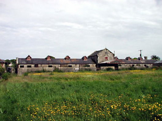 kennelskennels · 276 yd
 South Moat, Ordnance Ground, Fair GreenCastle, motte · 1296 yd
 European Crab AppleEuropean Crab Apple · 1408 yd
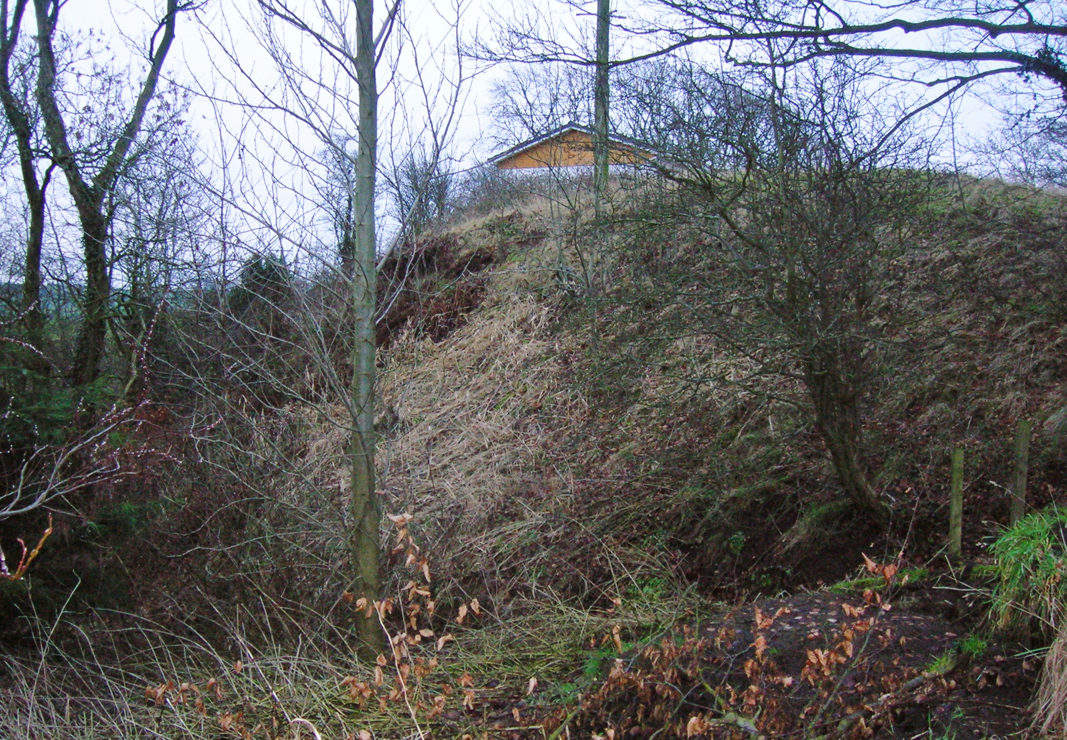 North MoteArchaeological place · 1448 yd
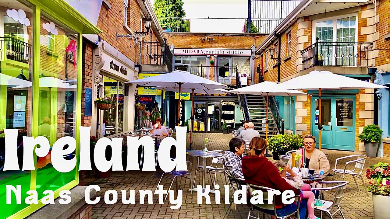 Not indciatedTown defences · 1458 yd
 Poplar SquarePicnic place · 1694 yd
 Monread District Park WoodsWood · 1.7 mi
 Newbridge SilverwareMuseum · 5.4 mi
 Cupidstown HillMountain / peak · 7.8 mi
 Athgoe HillMountain / peak · 8.7 mi