What is recorded here
Situated at the S edge of a fairly level landscape with a small W-E canalised stream c. 70m to the S. The medieval church (ME030-019----) is within a subrectangular graveyard (max. dims c. 55m NW-SE; c. 40m NE-SW), which is marked on the 1836 ed. of the OS 6-inch map, but which is no longer evident. The plaque (ME030-019002-) is within the church.
Compiled by: Michael Moore
Date of upload: 5 January, 2015
The monument record does not grant public access. Check the route and ask the landowner before entering private land.
- What survives
- Recorded monument
Places near here
 Church (Site of)Church · 9 yd
 Enclosure in StonestownEnclosure · 646 yd
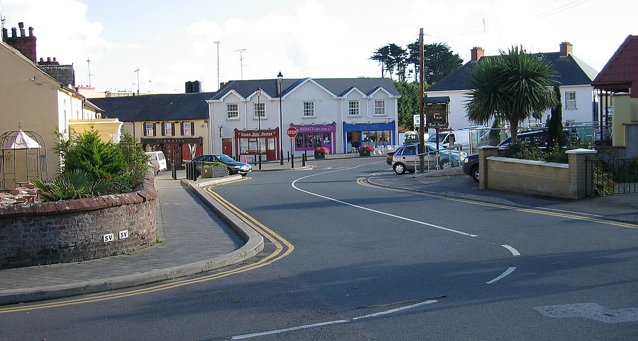 Courtown FriaryReligious house, Franciscan friars · 1.1 mi
 Black ChurchChurch · 1.4 mi
 Moymet CastleCastle, tower house · 1.4 mi
 Trim CastleCastle, Anglo-Norman masonry castle · 2.7 mi
 Wych ElmWych Elm · 2.9 mi
 Small-leaved ElmSmall-leaved Elm · 3.2 mi
 BohermeenMountain / peak · 3.9 mi
 The New Line RoadMemorial · 4.0 mi
 JamestownMountain / peak · 4.2 mi
 Nangle CourtMemorial · 6.4 mi