What is recorded here
Marked faintly as a circular embanked feature (ext. diam. c. 35m) on the 1837 ed. of the OS 6-inch map and situated on an E-facing slope of Inishfale Island (diam. c. 300m) in Lough Allen. It is not visible at ground level in deciduous woodland.
From the National Monuments Service (Archaeological Survey of Ireland) record RO002-028
The monument record does not grant public access. Check the route and ask the landowner before entering private land.
- What survives
- Recorded monument
Places near here
Photo credits
- National Inventory of Architectural Heritage
- Andreas F. Borchert, Wikimedia Commons · CC BY-SA 4.0
- RTG, Wikimedia Commons · CC BY-SA 4.0
- Pampuco, Wikimedia Commons · CC BY-SA 4.0
- Oliver Dixon, Geograph · CC BY-SA 2.0
- Willow, Wikimedia Commons · CC BY 2.5
- Kenraiz, Wikimedia Commons · CC BY-SA 3.0
- John M, Geograph · CC BY-SA 2.0
Holy islandIslet · 798 ydSpiranthes IslandsIslet · 1033 yd Drumshanbo Railway StationWater tower · 1.5 miDrumshanbo Railway StationStore/warehouse · 1.6 miLough AllenLarge freshwater lake · 2.5 miArigna Mining ExperienceMuseum · 2.9 miSliabh an IarainnMountain / peak · 3.5 miScardan WaterfallWaterfall · 4.8 miEuropean ash5.2 miBlack Poplar5.2 miFinn McCool's MonumentArchaeological place · 5.5 miBencroyMountain / peak · 5.9 mi
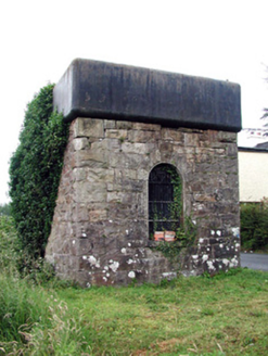 Drumshanbo Railway StationWater tower · 1.5 mi
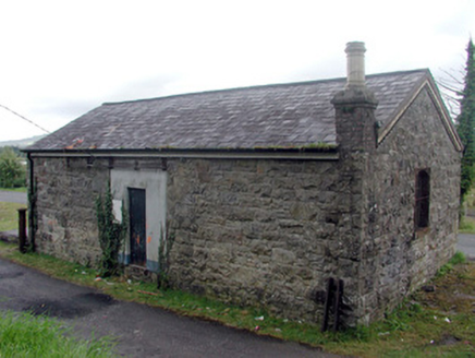 Drumshanbo Railway StationStore/warehouse · 1.6 mi
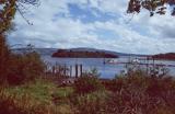 Lough AllenLarge freshwater lake · 2.5 mi
 Arigna Mining ExperienceMuseum · 2.9 mi
 Sliabh an IarainnMountain / peak · 3.5 mi
 Scardan WaterfallWaterfall · 4.8 mi
 European ash5.2 mi
 Black Poplar5.2 mi
 Finn McCool's MonumentArchaeological place · 5.5 mi
 BencroyMountain / peak · 5.9 mi
More archaeology and monuments in County Roscommon · All of County Roscommon
What do you know about this place?