What is recorded here
On a gentle E-facing slope close to the ENE shore of Inchenagh Island in Lough Ree. A large, raised, irregularly shaped area (105.5m NNW-SSE; 93.5m ENE-WSW) enclosed by a substantial wall of drystone masonry (Wth 3.4m; H 1.4m max.), which is very denuded from N-E-ESE. From ESE-S-WNW, adjacent to the shoreline, it has been modified and incorporated into a field boundary. There is no trace of a fosse and there is a modern entrance at WSW. It is known locally as the 'cashel field'.
Compiled by: Patrick F. O'Donovan
Date of upload: 26 August 2011
This remains an important historical record, but the official description says the monument is no longer visible or has been destroyed. The monument record does not grant public access. Check the route and ask the landowner before entering private land.
- What survives
- No visible remains or recorded as destroyed
Places near here
 Little IslandIslet · 738 yd
 Bushy IslandIslet · 847 yd
 IndicatedFairy fort / stone ringfort · 1013 yd
 St. Martins WellHoly well · 1.1 mi
 Formoyle Ho. in ruinsHouse, 17th century · 1.5 mi
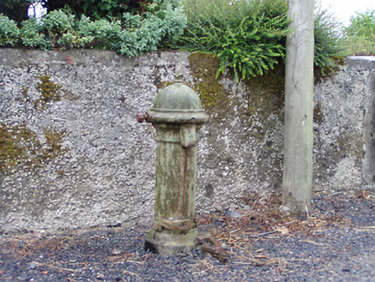 water pumpwater pump · 1.5 mi
 Rathcline CastleBawn · 2.3 mi
 Cruit BayBay · 2.4 mi
 White Sand WoodWood · 2.8 mi
 Cruit PointHeadland · 2.9 mi
 Wild birdsVisitor information · 3.3 mi
 Galey CastleCastle, tower house · 3.5 mi