What is recorded here
Described in the Civil Survey (1654-6) as 'fower Eele fishings' (Simington 1931, vol. 1, 64) in the vicinity of Holycross abbey. This is one of three surviving stone weirs traversing the River Suir immediately to the NE, E and SE of Holycross Abbey (TN047-030001) as indicated on current edition of the OS 6-inch map.
Compiled by: Caimin O'Brien.
Date of upload: 22 September 2008
The monument record does not grant public access. Check the route and ask the landowner before entering private land.
- What survives
- Recorded monument
Places near here
 Old Millmill (water) · 19 yd
 Glasheen'shouse · 49 yd
 Abbey WellHoly well · 79 yd
 Enclosure in GraiguenoeEnclosure · 394 yd
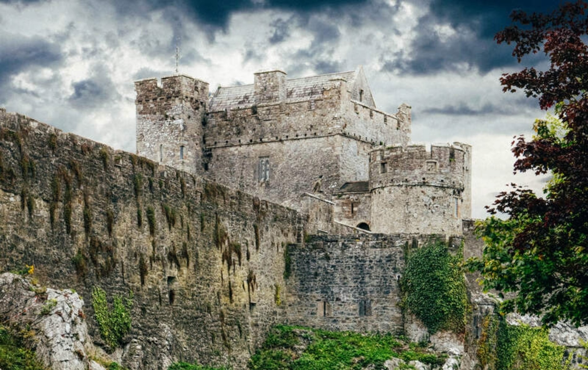 Castle (Site of)Castle, unclassified · 725 yd
 Beakstown HouseCastle, unclassified · 1410 yd
 Cormackstown Heritage CentreMuseum · 1.7 mi
 Killough Hill (site of)Mountain / peak · 2.4 mi
 Wildlife CorridorWood · 2.9 mi
 WoodlandWood · 3.3 mi
 Lár na PáirceMuseum · 3.5 mi
 Clonoulty HillMountain / peak · 4.6 mi