
What is recorded here
Positioned on relatively flat ground in forestry on the demesne of Hilton Park, with Hilton Lough barely visible c. 190m to the W. This is a slightly raised circular area (diam. 19m) defined by an earthen bank (Wth c. 3m; int. H 0.2-0.4m; ext. H 1-1.25m) and external fosse or drain (at W: Wth of base c. 0.6m; D c. 0.4m). Possible entrances exist at N (Wth 1.2m) and SSW (Wth c. 1.2m). A berm (Wth c. 3m) separates the fosse from a second outer fosse (Wth c. 1m) E-S, which is possibly a drainage feature. The rath (MO016-017----) is c. 80m to the S.
Date of upload: 14 April 2011
The monument record does not grant public access. Check the route and ask the landowner before entering private land.
- What survives
- Recorded monument
Places near here
 IndicatedFairy fort / earthen ringfort · 115 yd
 The Oak WoodWood · 181 yd
 The Ash WoodWood · 293 yd
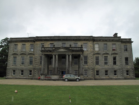 Hilton Parkcountry house · 497 yd
 Embanked enclosureFairy fort / earthen ringfort · 705 yd
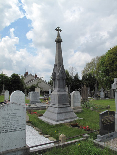 Scotshouse GraveyardGrave monument · 1165 yd
 SandhillsMountain / peak · 1.7 mi
 LattacrossanMountain / peak · 1.9 mi
 Ulster Canal Stores Visitor CentreHeritage attraction · 3.0 mi
 The Cassandra Hand CentreMuseum · 3.2 mi
 Saint John's WellSpring · 4.1 mi
 Drumcarn Ho.Castle, unclassified · 4.4 mi
Other information
Photo: Credit not shown in the picture search · Rights wording not checked; contact us if this picture should be removed