What is recorded here
In pasture at the SE corner of a modern rectangular field, located on a hillock. It is on the SW outskirts of Ballyhaunis town and there is a housing estate immediately to NW–N.
A circular embanked enclosure (diam. 15-20m) is shown on the 1838 OS 6-inch map; it is not shown on later map editions. There is a hillock with a slightly domed top (diam. 15-20m) at this location. It is obscured by a dense thicket of gorse and overgrowth and is difficult to examine. When inspected in 1998, no archaeological features could be seen beneath the overgrowth.
Compiled by: Jane O’Shaughnessy
Date of upload: 29 June 2022
The monument record does not grant public access. Check the route and ask the landowner before entering private land.
- What survives
- Recorded monument
Places near here
 Saint Patrick's Catholic Churchpresbytery/parochial/curate's house · 408 yd
 Ballyhaunis Courthousecourt house · 568 yd
 IndicatedEnclosure · 901 yd
 Enclosure in KilmanninEnclosure · 1419 yd
 CastleCastle, unclassified · 2.1 mi
 Ballybooley CastleCastle · 6.9 mi
 Oak WoodForest · 9.7 mi
 Land of the GiantsHeritage attraction · 9.8 mi
 Geoffrey's WoodForest · 11 mi
 Site of Killomaine Grave YardArchaeological place · 15 mi
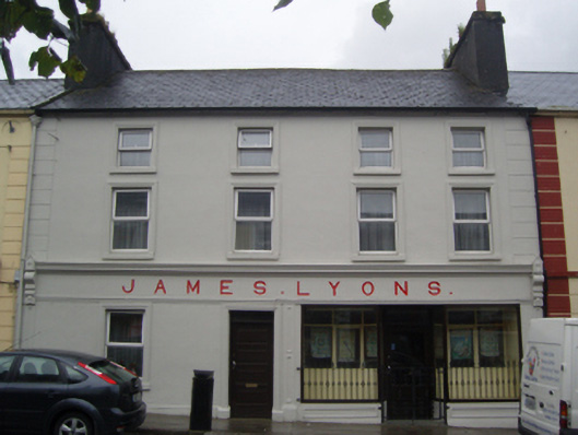 James Lyonshotel · 650 yd
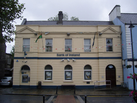 Bank of Irelandbank/financial institution · 716 yd