What is recorded here
Stands near the W-foot of a low spur overlooking the small, NW-flowing, Hartwell River immediately to the W, in an area of good quality, mixed pasture and tillage. The partially levelled and altered remains of a very large area (dims. L 90m ESE-WNW; Wth 46m) are defined by a mortared wall (int. H 4m; T 0.9m) of undressed, roughly coursed shale blocks and flags on the N and E and along the E-half of the S, and by an outer fosse (Wth 3-4m) on the N. A small, square, rubble-filled, projecting corner tower (ext. dims. L 3.9m; Wth 3.7m; int. H 2m; wall T 0.7m) survives at the W end of the N wall. Later stables and farm buildings abut the inner faces of the walls. The enclosed area is bisected on its short axis by the castle (KD019-015----). Conroy (2007, 187-93) suggests the site was a monastic grange belonging to St Thomas' Abbey, from possibly as early as the late-14th c.
Compiled by: Gearóid Conroy
Date of upload: 10 June 2011
Hartwell Upper was built by the de Verdon family in the 12th century and later held by the Earls of Bedford. It is remembered for its strategic position in the Welsh Marches and its association with the suppression of local rebellions.
The monument record does not grant public access. Check the route and ask the landowner before entering private land.
- What survives
- Recorded monument
Places near here
 Hartwell CastleCastle, unclassified · 16 yd
 Enclosure in Hartwell UpperEnclosure · 728 yd
 Not indciatedRitual site, holy tree/bush · 954 yd
 Kill MoatCastle, motte and bailey · 1356 yd
 Saint John's Church (Kill)church/chapel · 1587 yd
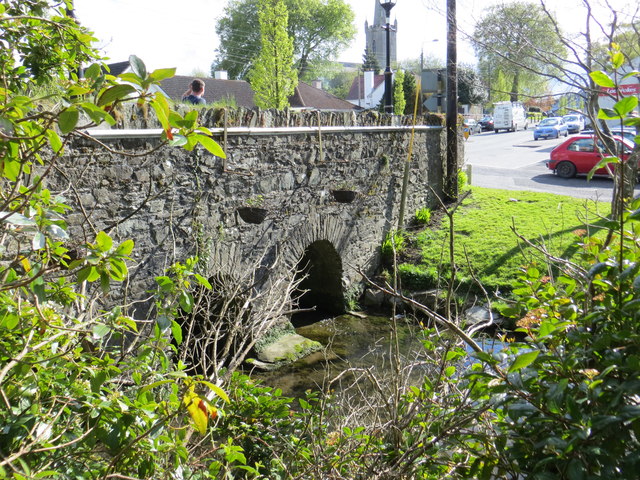 bridgebridge · 1681 yd
 European YewEuropean Yew · 1.0 mi
 McCullagh's WoodWood · 1.7 mi
 Cupidstown HillMountain / peak · 3.9 mi
 Saggart HillMountain / peak · 4.6 mi
 The Square RenewalMemorial · 5.0 mi
 Dame Ninette de ValoisMemorial · 5.0 mi