
What is recorded here
In pasture, on top of a low ridge. Indicated on the 1838 OS 6-inch map as an embanked circular area (diam. c. 38m). The remains consist of a slightly raised D-shaped area (dims. 42m N-S; 34m E-W) defined WSW-NE by a gapped earthen bank (Wth 4.5m; int. H 0.5m; ext. H 1.2m) truncated at E by a concrete shed. A slight undulation at SW probably indicates another portion of the bank which has been levelled. The straight S side is bordered by a vertical S-facing scarp (H 1m) revetted with concrete walling, immediately to S of which is a house. Outside the bank WSW-NW, and respecting its curve, is an earth and stone field boundary (Wth 1.5m). The intervening space (Wth 4m) is c. 0.6m below both the rath interior and ground level in the field to W and may indicate a fosse. A slight depression (Wth 3.5m) outside the bank at NNW may also be evidence of an external fosse. There are several narrow eroded breaks in the bank and at NE a larger slumped gap (Wth 2.5m). Within the level interior, adjacent to bank at N, is a slight dip in ground level corresponding with a very low flat-topped rectangular rise (c. 6m E-W; 4m N-S) immediately outside the bank. These features probably indicate the site of a small rectangular structure shown straddling the bank on the 1942-3 OS 6-inch map. There is a water trough in the interior. In 1836 three 'old forts' (see SL044-080---- and SL044-019----) were recorded in the townland of Greyfield (OSNB vol. 1, 423).
The above description is derived from the published 'Archaeological Inventory of County Sligo' compiled by Ursula Egan, Elizabeth Byrne, Mary Sleeman with Sheila Ronan and Connie Murphy (Dublin Stationery Office, 2005).
Date of upload: 18 January 2008
The monument record does not grant public access. Check the route and ask the landowner before entering private land.
- What survives
- Recorded monument
Places near here
 Enclosure in RiverstownEnclosure · 1014 yd
 Indicated (1838).Fairy fort / earthen ringfort · 1192 yd
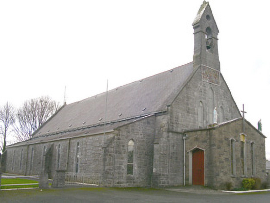 Saint Patrick's Catholic Churchchurch/chapel · 1.1 mi
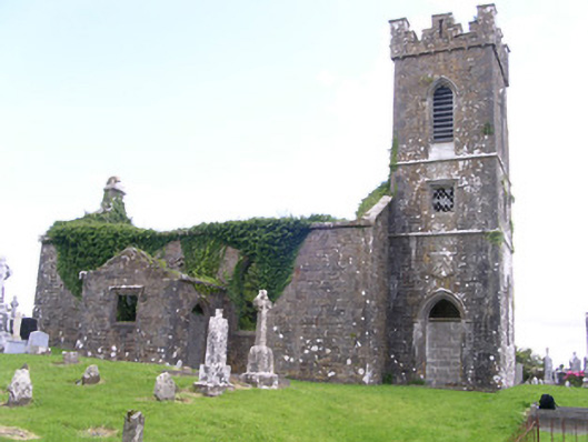 Gorteen Church (Kilfree)church/chapel · 1.2 mi
 Moygara Castle (in Ruins)Bawn · 2.7 mi
 Moygara CastleCastle · 2.7 mi
 Caves of KeshCave · 4.1 mi
 Crow IslandIslet · 4.2 mi
 Kesh CorannMountain / peak · 4.6 mi
 Inch IslandIslet · 4.8 mi
 Castle PointHeadland · 4.9 mi
 Curlew MountainsMountain / peak · 5.0 mi
Other information
Photo: Credit not shown in the picture search · Rights wording not checked; contact us if this picture should be removed