What is recorded here
On a promontory above the junction of two streams on a S-facing slope. Rectangular grass and heather-covered platform (dims. 31m N-S; 30m E-W) defined by steep natural slopes (H c. 20m at S) on all sides except the N where there is an earthen bank (Wth 8m; int. H 1.6m; ext. H 2.8m) and outer fosse (Wth of top 6.7m; D 0.2-1.1m), curving out to the N. There is no visible entrance.
From the National Monuments Service (Archaeological Survey of Ireland) record RO002-002
The monument record does not grant public access. Check the route and ask the landowner before entering private land.
- What survives
- Recorded monument
Places near here
Sweat House (Disused)Sweathouse · 345 ydCloughbannyMass-rock · 910 ydSeltannasaggart se SlopeMountain / peak · 1.3 mi Scardan WaterfallWaterfall · 1.6 miKilronan MountainMountain / peak · 2.2 miArigna Mining ExperienceMuseum · 2.2 miTobar Ailbhe Holy WellMemorial · 2.4 miEuropean ash2.8 miBlack Poplar2.9 miSaint Thomas's Church (Kilronan)Church/chapel · 3.4 miKilronan CastleGate lodge · 3.4 miLough AllenLarge freshwater lake · 4.0 mi
 Scardan WaterfallWaterfall · 1.6 miKilronan MountainMountain / peak · 2.2 mi
 Arigna Mining ExperienceMuseum · 2.2 miTobar Ailbhe Holy WellMemorial · 2.4 mi
 European ash2.8 mi
 Black Poplar2.9 mi
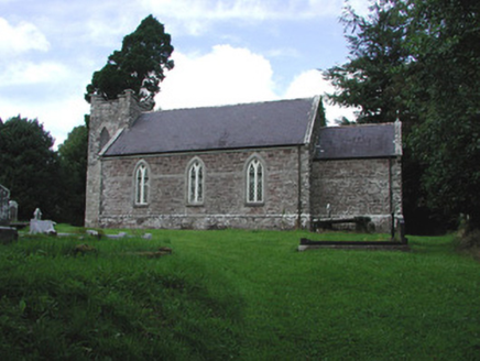 Saint Thomas's Church (Kilronan)Church/chapel · 3.4 mi
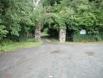 Kilronan CastleGate lodge · 3.4 mi
 Lough AllenLarge freshwater lake · 4.0 mi
Pictures: Oliver Dixon, Geograph · CC BY-SA 2.0; RTG, Wikimedia Commons · CC BY-SA 4.0; Willow, Wikimedia Commons · CC BY 2.5; Kenraiz, Wikimedia Commons · CC BY-SA 3.0; National Inventory of Architectural Heritage; Andreas F. Borchert, Wikimedia Commons · CC BY-SA 4.0
More archaeology and monuments in County Roscommon · All of County Roscommon
What do you know about this place?