What is recorded here
Indicated is a fairy fort in County Cork, Ireland. It is a circular earthen ringfort about thirty metres across, still marked in pasture fences to the south and west. The bank has resisted centuries of farming, though dumped material now hides its true edge.
In pasture. Depicted as circular enclosure (diam. c. 30m) on 1842, 1904 and 1939 OS 6-inch maps; hachured on 1842 OS 6-inch map. Bank survives in field fence system to S and W; no measurements possible due to material dumped against it. According to Hartnett (1939, 188) 'earth and stone fence encloses this site. Diameter - 108 ft'.
The above description is derived from the published 'Archaeological Inventory of County Cork. Volume 3: Mid Cork' (Dublin: Stationery Office, 1997). In certain instances the entries have been revised and updated in the light of recent research.
Date of upload/revision: 14 January 2009
The monument record does not grant public access. Check the route and ask the landowner before entering private land.
- What survives
- Recorded monument
Places near here
 Man-made underground passage in Gowlane SouthMan-made underground passage · 576 yd
 Fulacht fia in Kilmartin UpperFulacht fia · 1389 yd
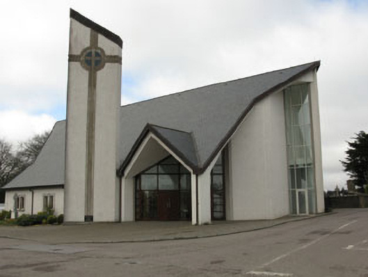 church/chapelchurch/chapel · 1638 yd
 monumentmonument · 1678 yd
 New TipperaryVisitor information · 1.2 mi
 Saint Bartholomew's WellSpring · 1.9 mi
 Knockduff Wind FarmVisitor information · 2.1 mi
 Ballyvodane Castle (in Ruins)Castle, unclassified · 3.9 mi
 Oldcastle WoodWood · 4.1 mi
 Bweeng LittleMountain / peak · 4.4 mi
 Lyradane MountainMountain / peak · 5.0 mi
 Black WoodWood · 7.6 mi