What is recorded here
At S end of low N-S ridge on flat poorly drained marshy terrain with good views in all directions. Monument consists of a raised roughly rectangular-shaped platform (dims. L 33m S-W; L 40m N-W; diam. 56m N-S; 51m E-W) defined by a scarp (H 0.5-2.5m) and waterlogged outer fosse (Wth 6m; ext. D 0.3m) which is best preserved from SW through W to N and barely visible from N to E. At SE side from E to S there is a steep fall where the ridge ends with no evidence of an outer fosse. Possible gap (Wth 7m) in scarp at NW may be an entrance gap but could easily be a modern gap. S angle of platform appears to have been quarried out. Not a classic moated site in that there is no evidence of an enclosing bank with rounded corners and fosse is poorly preserved and not wide and flat-bottomed. In the nineteenth century it was recorded in that 'a wooden bow, 37.5" long was found in a moat surrounding a square rath, near Dundrum, county of Tipperary, at the depth of two feet under the surface, in a bed of leaves about four feet thick, associated with a small quantity of small timber, was presented by Arthur B. Wynne, Esq., on the par of Mr Thomas White, who discovered it' (Anon. 1857-60, vol. 7, 107).
Compiled by: Jean Farrelly
Date of upload: 26 August 2011
The monument record does not grant public access. Check the route and ask the landowner before entering private land.
- What survives
- Recorded monument
Places near here
 Dundrum Woods (Marl Bog)Forest · 611 yd
 Enclosure in Dundrum,gortussa (ballintemple Par.)Enclosure · 627 yd
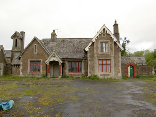 Dundrum Railway Stationrailway station · 885 yd
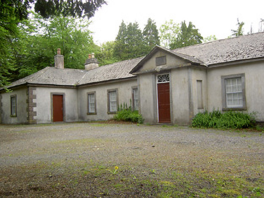 Dundrum Courthouseschool · 919 yd
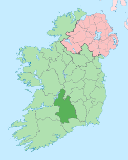 IndicatedEnclosure · 1233 yd
 Maudemount BogWood · 1278 yd
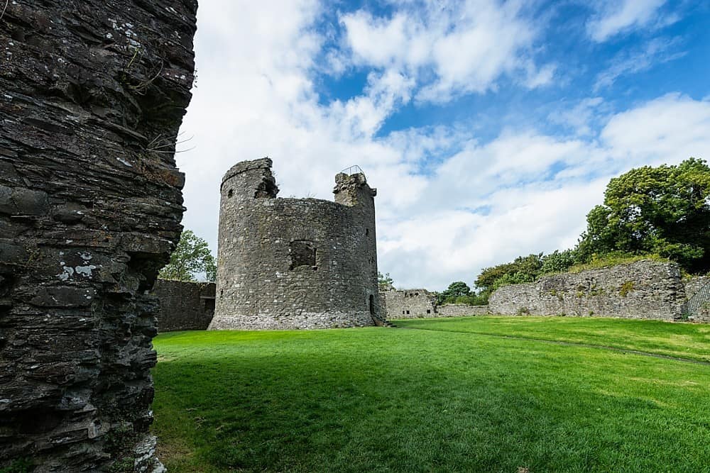 Site of CastleCastle, unclassified · 1.4 mi
 Ballysheeda Castle (in Ruins)Castle, tower house · 2.3 mi
 Soloheadbeg Ambushambush · 4.8 mi
 Soloheadbeg Ambush SiteMemorial · 5.4 mi
 Clonoulty HillMountain / peak · 5.4 mi
 GortnageraghMountain / peak · 7.6 mi