What is recorded here
Historical research and geophysical prospection identified a late 18th or early 19th-century settlement, which is marked as a small clustered village on the 1837 ed. of the OS 6-inch map. Excavation (96E0073) recovered over 6000 artifacts including locally-made redwares. There were also structural remains relating to the post-famine period. (Orser 1997a, b)
Compiled by: Michael Moore
Date of upload: 24 August 2010
The monument record does not grant public access. Check the route and ask the landowner before entering private land.
- What survives
- Recorded monument
Places near here
 IndicatedFairy fort / earthen ringfort · 1499 yd
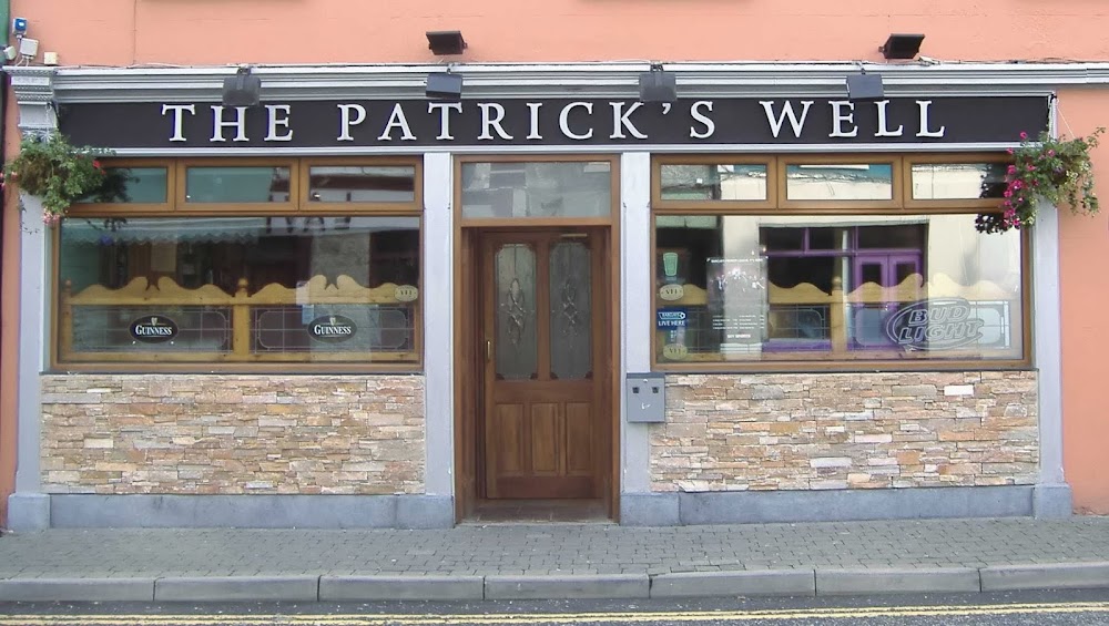 St Patricks WellHoly well · 1.2 mi
 Penitential station in GortlustiaPenitential station · 1.2 mi
 St Barrys ChurchChurch · 2.4 mi
 Doughill ForestForest · 3.2 mi
 Strokestown ParkHeritage attraction · 3.3 mi
 CastleCastle, unclassified · 3.5 mi
 Strokestown House GardensHeritage attraction · 3.5 mi
 Common LimeCommon Lime · 3.6 mi
 Slieve BawnMountain / peak · 3.8 mi
 St. Barry's WellSpring · 4.8 mi
 Long IslandIslet · 5.0 mi