
What is recorded here
Located at the centre of the subrectangular Gortawinny Lough (max. dims c. 370m E-W; c. 370m N-S), which is now substantially reduced. This is an oval overgrown island (dims 22m E-W; 16m N-S; max. H 1m over the water) at the edge of deep water on the S side, but on the N there is a gentler slope with evidence of a kerb visible below the water. Burnt clay, animal bones and medieval pottery were noted in 1941 (SMR file).
The above description is derived from the published 'Archaeological Inventory of County Monaghan' (Dublin: Stationery Office, 1986). In certain instances the entries have been revised and updated in the light of recent research.
Revised by: Michael Moore
Date of revision: 29 January 2018
The monument record does not grant public access. Check the route and ask the landowner before entering private land.
- What survives
- Recorded monument
Places near here
 Crannog in Tirnahinch FarCrannog · 1135 yd
 mill (wind)mill (wind) · 1139 yd
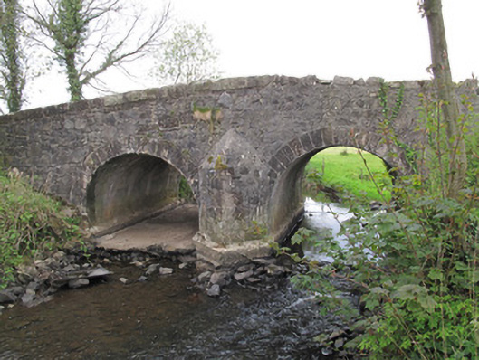 Bensons Bridgebridge · 1280 yd
 Grave YardGraveyard · 1.1 mi
 PLANTATION TOWER-HOUSE & BAWN (unlocated) in ShannockPLANTATION TOWER-HOUSE & BAWN (unlocated) · 1.2 mi
 Bawn in CrossmoyleBawn · 1.8 mi
 Abbey RuinsHeritage attraction · 1.9 mi
 The Cassandra Hand CentreMuseum · 1.9 mi
 Saint John's WellSpring · 2.2 mi
 KillycoonaghWood · 2.3 mi
 Jaundice WellSpring · 2.4 mi
 Common LimeCommon Lime · 2.5 mi
Other information
Photo: Credit not shown in the picture search · Rights wording not checked; contact us if this picture should be removed