What is recorded here
Indicated on the 1837 and 1913 editions of the OS 6-inch map. There are the remains of two apparently post-medieval fields at this location. This, the second field, is located 14m to the S of the first (SL009-025----) and consists of a roughly D-shaped area (dims. 18m N-S; 13m E-W) enclosed by a tumbled drystone wall (T 0.8-2m; H 0.1-0.5m) of rubble sandstone. The E side of the field is almost straight and is orientated N-S. A 5m wide N-S orientated band of sandstone scree separates the two fields. The interior of both fields undulates irregularly. The evidence suggests that these features are post-1700 AD in date.
Compiled by: Patrick F. O'Donovan
Date of upload: 02 August 2012
The monument record does not grant public access. Check the route and ask the landowner before entering private land.
- What survives
- Recorded monument
Places near here
 Copes MountainMountain / peak · 250 yd
 Enclosure in Castlegal (carbury By., Glencar Ed)Enclosure · 1739 yd
 IndicatedFairy fort / earthen ringfort · 1.0 mi
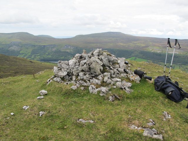 CrockaunsMountain / peak · 1.1 mi
 Glencar IslandIslet · 1.6 mi
 Glencar WaterfallVisitor information · 1.7 mi
 Glencar Lough ViewpointViewpoint · 1.7 mi
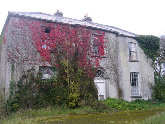 Doonally Househouse · 2.2 mi
 Gleniff Barytes MineRuins · 2.5 mi
 Memorial Francis FinnMemorial · 2.6 mi
 Doneen WestCliff · 2.7 mi
 Dermot & Grania's BedCave · 3.7 mi