What is recorded here
Indicated on the 1837 and 1913 editions of the OS 6-inch map. There are the remains of two apparently post-medieval fields at this location. This, the first field consists of a roughly D-shaped area (dims. 17m N-S; 15m E-W) enclosed by a tumbled drystone wall (T 0.8-2.5m; H 0.1-0.5m) of rubble sandstone. The W side of the field is almost straight and is orientated N-S. The second field is located 14m to the S (SL009-025001-). A 5m wide N-S orientated band of sandstone scree separates the two fields. The interior of both fields undulates irregularly. There is no evidence to indicate that these are features of any great antiquity.
Compiled by: Patrick F. O'Donovan
Date of upload: 02 August 2012
The monument record does not grant public access. Check the route and ask the landowner before entering private land.
- What survives
- Recorded monument
Places near here
 Copes MountainMountain / peak · 269 yd
 Enclosure in Castlegal (carbury By., Glencar Ed)Enclosure · 1732 yd
 IndicatedFairy fort / earthen ringfort · 1.0 mi
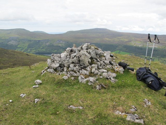 CrockaunsMountain / peak · 1.1 mi
 Glencar IslandIslet · 1.6 mi
 Glencar WaterfallVisitor information · 1.7 mi
 Glencar Lough ViewpointViewpoint · 1.7 mi
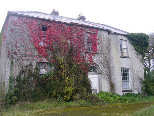 Doonally Househouse · 2.2 mi
 Gleniff Barytes MineRuins · 2.4 mi
 Memorial Francis FinnMemorial · 2.6 mi
 Doneen WestCliff · 2.7 mi
 Dermot & Grania's BedCave · 3.7 mi