What is recorded here
In pasture, utilising the contours of a natural rise, with good views of the surrounding undulating terrain. Oval raised area (21m N–S; 17m E–W) defined by a levelled bank. The bank has been reduced to a broadly sloping scarp which merges more or less seamlessly with the natural slope of the rise. The scarp is lowest at E-SW (Wth slope c. 5m, H 0.65m at S), with a noticeably slumped area at E probably indicating the original entrance. The fall of ground is steeper at W–NW, with a disused laneway, flanked by overgrowth-covered field banks, skirting the base of the slope at W. At N the scarp (Wth slope c. 4m, H c. 1m) merges with the natural slope giving an overall drop of c. 2m. The scarp retains a broad low internal lip which gives the interior a somewhat sunken or saucer-shaped profile. Grass cover, with a thicket of overgrowth at W edge of the interior. There is another rath (MA048-050001-) c. 100m to NE.
Compiled by: Jane O'Shaughnessy
Date of upload: 18 February 2013
The monument record does not grant public access. Check the route and ask the landowner before entering private land.
- What survives
- Recorded monument
Places near here
 IndicatedFairy fort / earthen ringfort · 402 yd
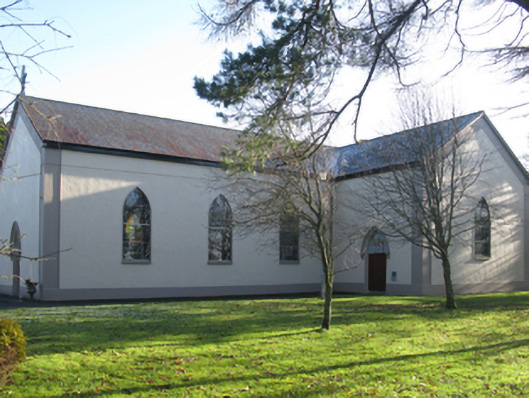 Catholic Church of Christ the Kingchurch/chapel · 812 yd
 Enclosure in Lissaniska WestEnclosure · 1002 yd
 Killeencormack Grave YardChurch · 1.2 mi
 Castle (in ruins)Castle, unclassified · 1.5 mi
 Drummin ForestForest · 2.3 mi
 Lough CullinViewpoint · 2.4 mi
 Cliff IslandIslet · 2.5 mi
 Cloghans CastleCastle, tower house · 3.0 mi
 Gull IslandIslet · 3.3 mi
 Foxford Woollen MillsHeritage attraction · 3.4 mi
 Admiral William BrownMemorial · 3.5 mi