What is recorded here
Indicated occupies a south-facing pasture slope in County Mayo where a road now cuts through the site. A circular enclosure marked on an 1838 map may have been a ringfort, though no surface trace remains. The possibility suggests people once lived, worked or kept animals inside a boundary later erased by traffic and time.
In pasture, on S-facing slope. Road runs through position occupied by the site. No visible surface traces. Shown on OS map (1838) as circular enclosure. Possibly a ringfort.
The above description has been derived from D. Lavelle (compiler), An Archaeological Survey of Ballinrobe and District including Lough Mask and Lough Carra. Lough Mask and Lough Carra Tourist Development Association (1994), No. 363.
Date of upload: 12 January 2015
The monument record does not grant public access. Check the route and ask the landowner before entering private land.
- What survives
- Recorded monument
Places near here
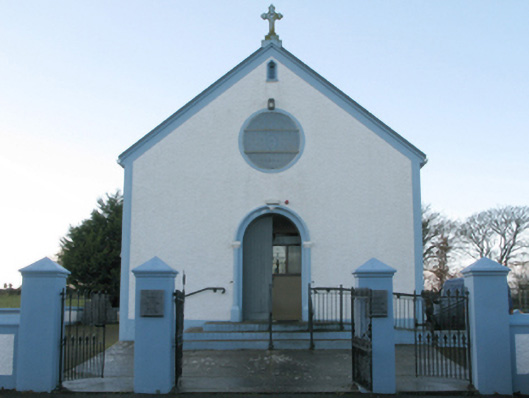 Catholic Church of the Assumptionchurch/chapel · 387 yd
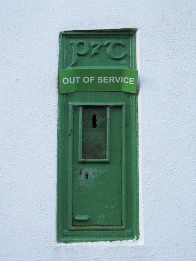 post boxpost box · 442 yd
 IndicatedFairy fort / stone ringfort · 957 yd
 Bawn in Kilkeeran (kilmaine By., Kilmainebeg Par.)Bawn · 1589 yd
 Enclosure in FountainhillEnclosure · 1.0 mi
 Castle in ruinsCastle, tower house · 1.1 mi
 Cregg PlantationForest · 2.9 mi
 Pesooge PlantationForest · 3.4 mi
 Gibbs IslandsIslet · 3.6 mi
 Red Island RockIslet · 4.4 mi
 Ross Errilly FriaryHeritage attraction · 4.6 mi
 School of FalconryHeritage attraction · 5.8 mi