What is recorded here
In a thicket of blackthorn scrub in rough pasture, on the SW outskirts of Kiltimagh town. Remnants of a vernacular stone cottage lie in the same field c. 20m to NE.
This rath consists of an oval or oblong platform (c. 45m NNW/SSE; c. 30m ENE/WSW) defined by an earthen scarp. The scarp is most substantial at SW−NW (H 1.7m). It is lower and degraded to NE−SE (H 0.8-1m) where it has been modified to form part of a field boundary by being cut to the vertical and faced with drystone walling. A semi-circular area has been quarried out of the scarp at N. A property boundary on a NE−SW axis clips the NW edge of the rath.
The interior is fairly level, except for a slope down to the W and SW in the SW quadrant. A small heap of stones lies at the base of blackthorn bushes in the NE quadrant. The entrance may have been at E or SE where the scarp is lowest. The rath is engulfed in blackthorn scrub and is difficult to examine.
Compiled by: Jane O’Shaughnessy
Date of upload: 30 November 2021
The monument record does not grant public access. Check the route and ask the landowner before entering private land.
- What survives
- Recorded monument
Places near here
 Saint Louis's Conventgraveyard/cemetery · 462 yd
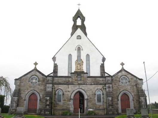 Catholic Church of the Holy Familychurch/chapel · 596 yd
 IndicatedFairy fort / earthen ringfort · 810 yd
 I'll Send You The FareMemorial · 838 yd
 Kiltimagh MuseumMuseum · 1119 yd
 CrossCross · 1.1 mi
 Carrowbeg WoodWood · 1.7 mi
 CashlankeeghCastle, unclassified · 1.7 mi
 Thorn CaveCave · 3.6 mi
 Castle in ruinsCastle, tower house · 5.1 mi
 Knock ShrineHeritage attraction · 5.4 mi
 East Mayo Brigade MonumentMemorial · 6.4 mi