What is recorded here
In open, level, poorly drained pasture. A poorly preserved, rectangular area (int. dims. L c. 29m N-S; Wth c. 25m) is defined by a low, inner earthen bank (Wth 4.2m; int. H 0.7m; ext H 0.8m) and by a shallow outer fosse (Wth 4.5-5m; D 0.2m). The external corner at NW is truncated by a modern field bank. The site is shown as being tree-covered on the latest ed. (1911) of the OS 6-inch map and the interior contains recently felled trees. Visible on a recent aerial photograph (OSi Orthophoto 2005).
Compiled by: Gearóid Conroy
Date of upload: 10 June 2011
The monument record does not grant public access. Check the route and ask the landowner before entering private land.
- What survives
- Recorded monument
Places near here
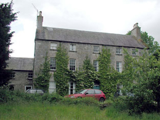 Metcalfe Parkcountry house · 451 yd
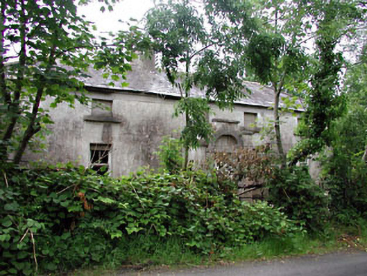 farm housefarm house · 584 yd
 Site of Dunfierth CastleCastle, unclassified · 1202 yd
 Base of CrossCross · 1247 yd
 Enclosure in Johnstown (moyfenrath Lower By., Rathcore Par.)Enclosure · 1256 yd
 Bawn in Newcastle (moyfenrath Lower By.)Bawn · 1.7 mi
 European ashEuropean ash · 2.3 mi
 Cloncurry GraveyardHeritage attraction · 2.3 mi
 Old Bog Road made famous by Teresa Bryton 1868-1943Memorial · 3.6 mi
 The Grill ShackHeritage attraction · 3.7 mi
 9/11 MemorialMemorial · 5.3 mi
 Fear English Bridgebridge · 830 yd